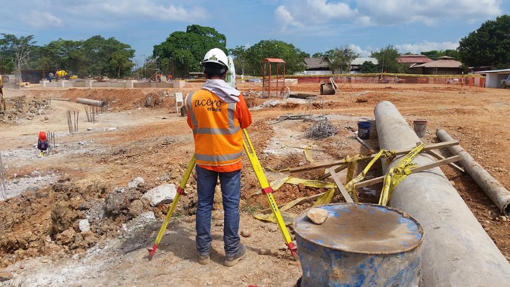
The discipline of topography is constantly evolving; however, it is in recent years with the emergence of drones that this important branch of engineering is undergoing significant changes in the way topographic data is collected and recorded.
In this article, we will explore the advantages of drone topography and compare it with traditional methods.
Speed
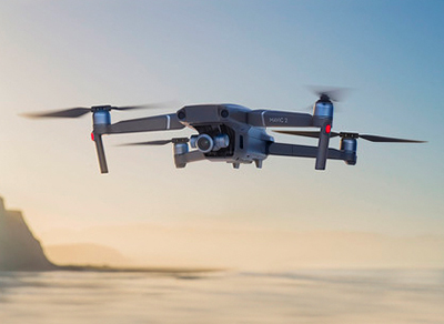
Drones equipped with LiDAR (Light Detection and Ranging) sensors and high-resolution cameras can collect topographic data at a much faster and more efficient rate than traditional surveying services. Additionally, the results of a topographic survey conducted using these means are highly accurate.
In road construction projects, where a traditional surveying team might take weeks, drones equipped with LiDAR can complete the work in just a few days, allowing engineers to start the design and architecture phase much more quickly.
Precision
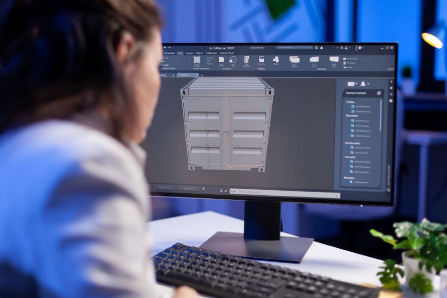
Drone topography is precise and detailed thanks to high-definition sensors and cameras. These data are processed using software such as photogrammetry software, which creates accurate three-dimensional models of the terrain.
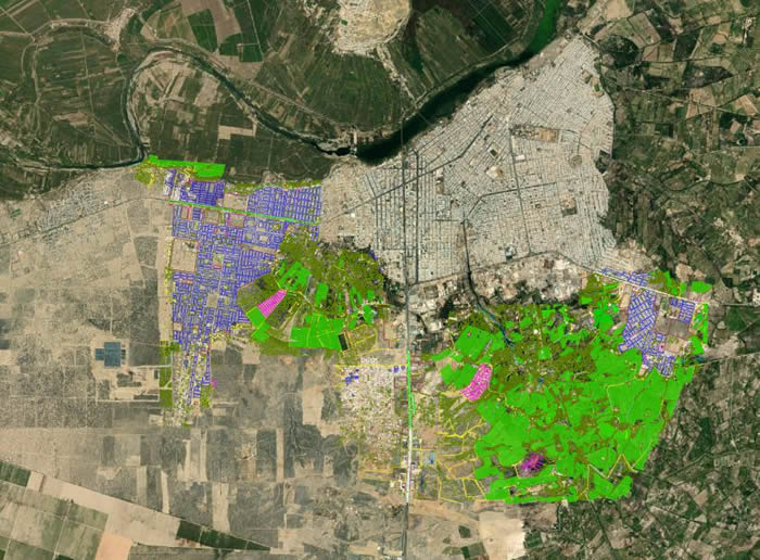
An example of the precision and reliability of drones is that, thanks to their multispectral cameras, they can even detect areas with higher or lower humidity to provide maximum information to the project engineers.
Safety
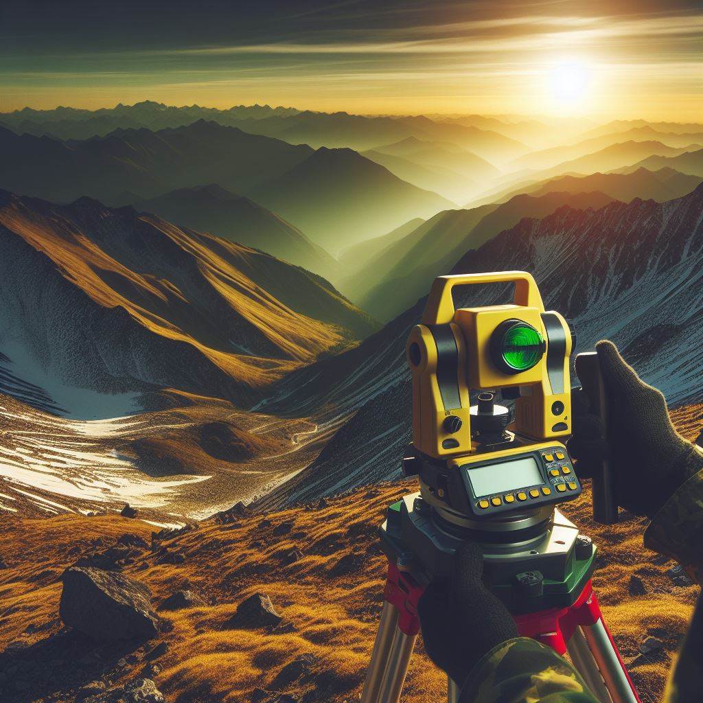
Drone topography allows us to access remote areas, rocky slopes, or areas with dangerous cliffs while maintaining the safety of the human team and allowing us to collect data in difficult or inaccessible terrain.
An example of this is found in the mining industry, where drones fly over dangerous areas, such as steep slopes or recent excavation areas, to conduct detailed inspections without endangering the safety of personnel.
Contact Acero Estudio, inquire about our drone topography service, and let’s kickstart your project with the utmost efficiency and safety.