Technical File for the Expansion of the Neutralization Plant, Minera Volcan, Cerro De Pasco
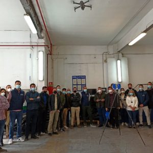
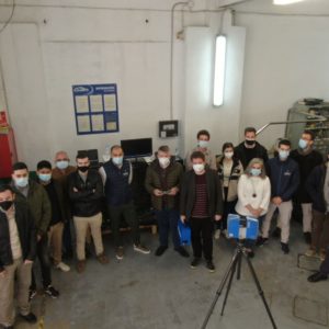
The Acero Estudio team in Peru carried out geodesy, drone flight and 3D laser scanning of the area planned for the expansion of the Volcan Mining Neutralization Plant in Cerro de Pasco.
These tasks were carried out under all preventive measures and medical examinations due to the existing COVID-19 pandemic.
Once all the requirements requested by Volcan were exceeded, the Acero Estudio team in Peru traveled from Lima to the work area.
Work in the project area began with the placement of Geodetic Points linked to the mining company’s coordinate system and their measurement using dual-frequency differential GPS.
Next, the necessary support points were located for the subsequent restoration of the drone flight. These support points were marked with lime and measured with GPS in RTK mode.
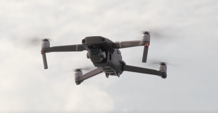
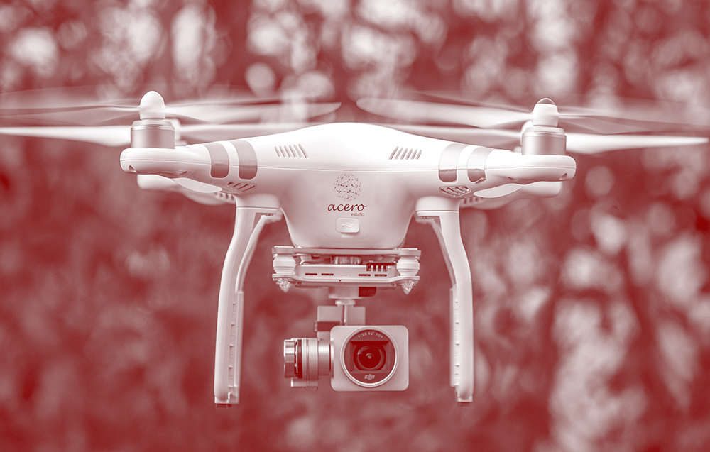
The drone flight of about 12 Ha was carried out at low altitude (60 m) to obtain greater definition of the terrain and existing elements such as buildings, pipes, etc. For this, a DJI Phantom 4 Pro drone with a 20 Mpx camera was used.
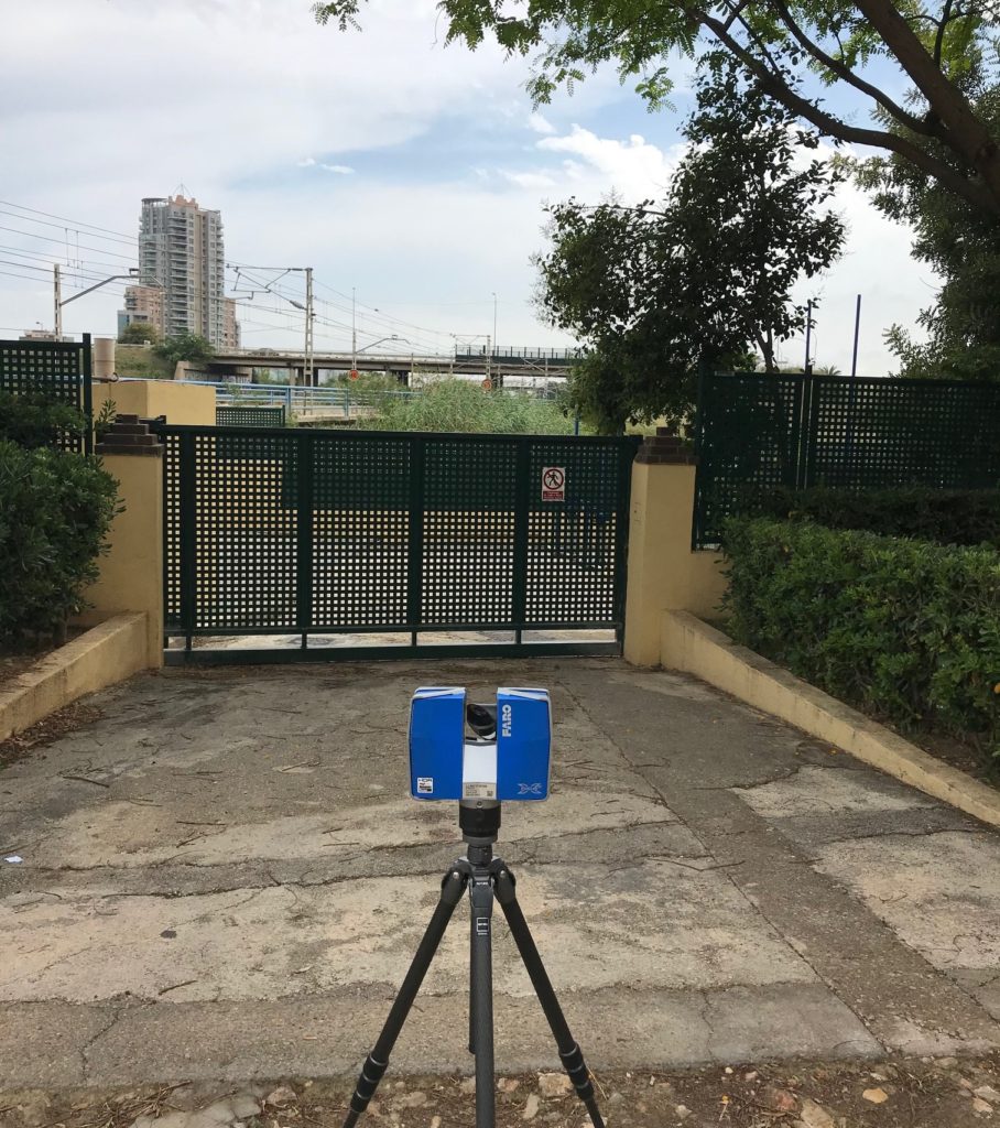
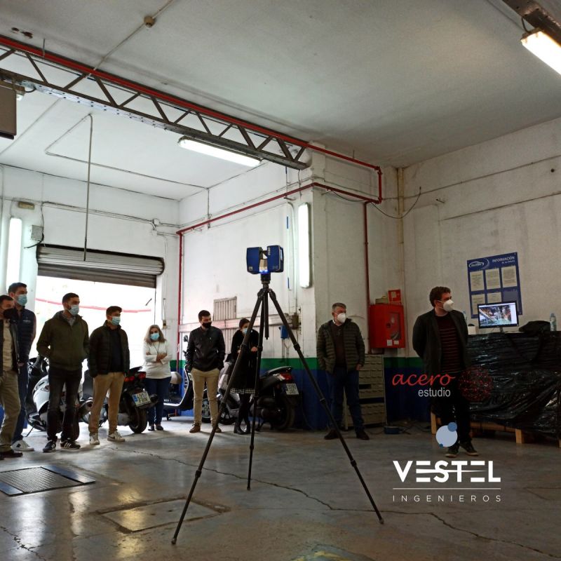
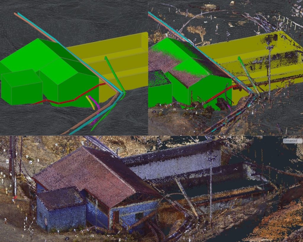
After the drone flight, laser scanning was carried out of the specific areas where the expansion of the neutralization plant will be carried out.
241 scans were performed using the FARO 3D S120 scanner with which all essential information was collected, measurements, high quality and dynamic range (HDR) image volumes and millions of 3D points obtained in seconds, with a full capture range of 360 degrees, where the resolution, quality of the points and light intake were adjusted to adequately adapt to the capture of the scene from multiple points of view, different lighting conditions, installations and distances to the facades.
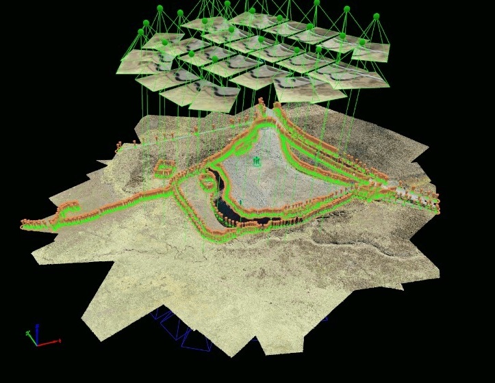
In the office, a record of the scans was obtained and 3D modeling of the main facilities that were the object of the project was carried out.
We thank our client SUEZ for the trust placed in our team and the work of coordinating and directing the work carried out.
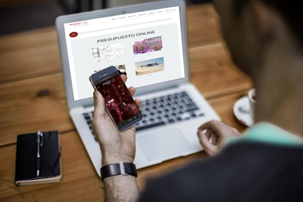
Learn more about Acero Estudio
Take into account that Acero Estudio provides various services dedicated to reducing construction risks such as:
- Topographic services
- Drone photogrammetry
- LIDAR service
- BIM Consulting
- Laser 3D Scanner
Contact us and request a quote for our services, we are here to assist you.