Benefits of Aerial Photogrammetry in Infrastructure Construction

drone aerial photogrametry

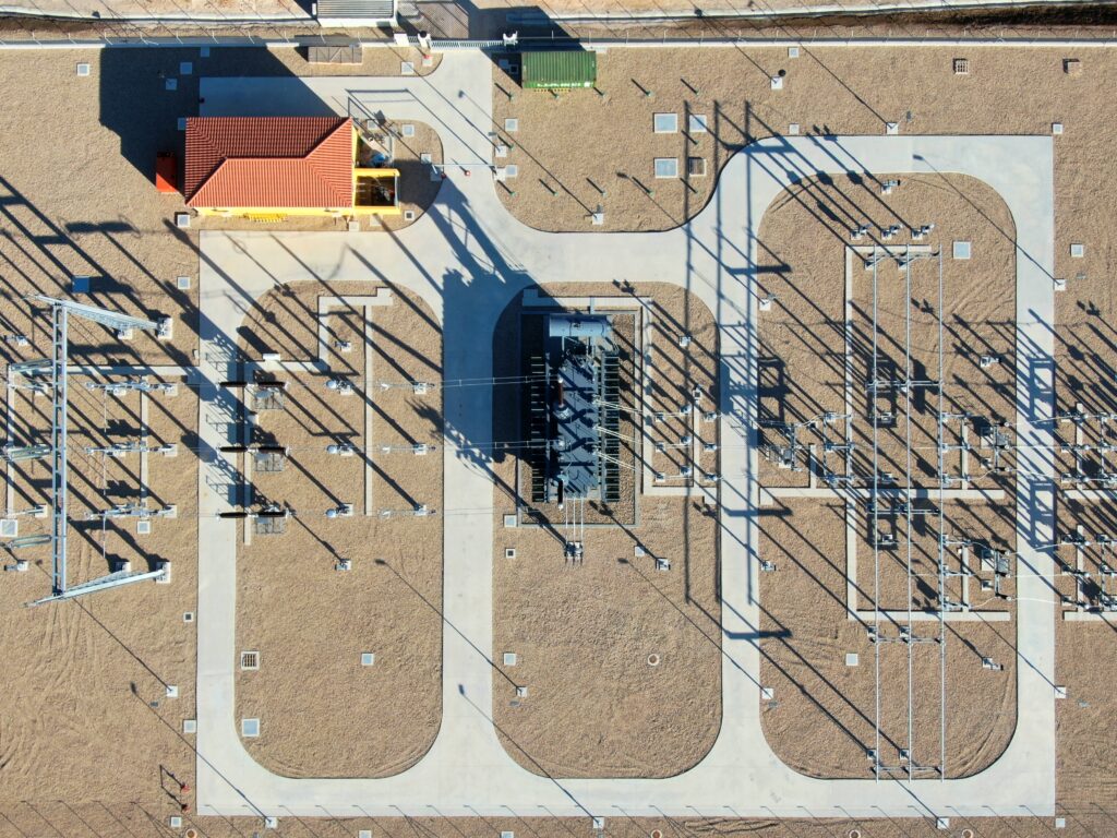
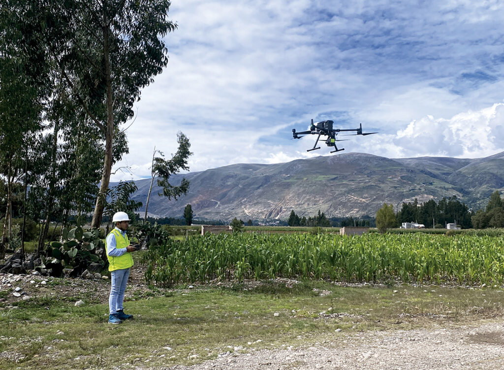
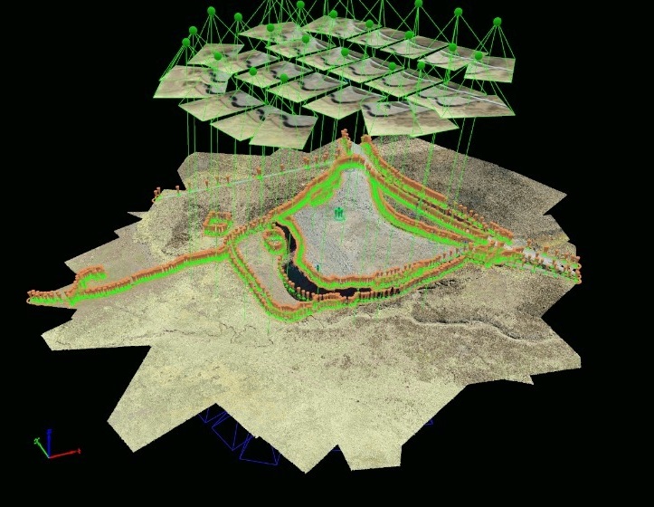
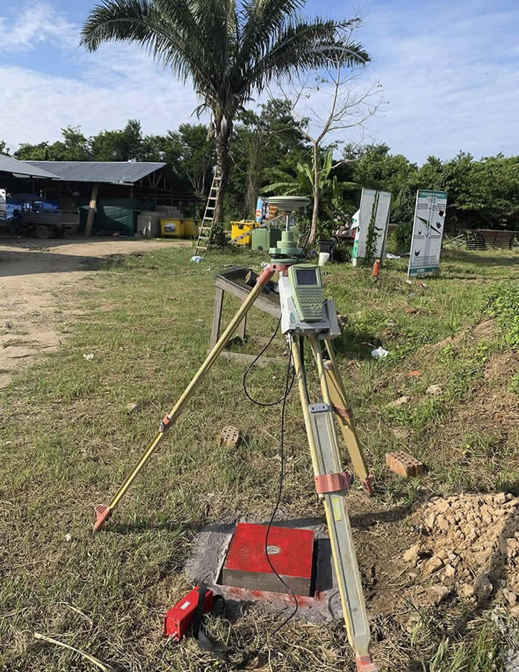
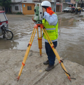
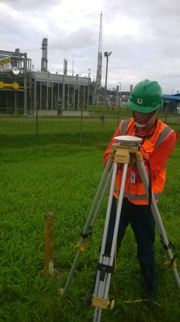
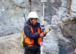
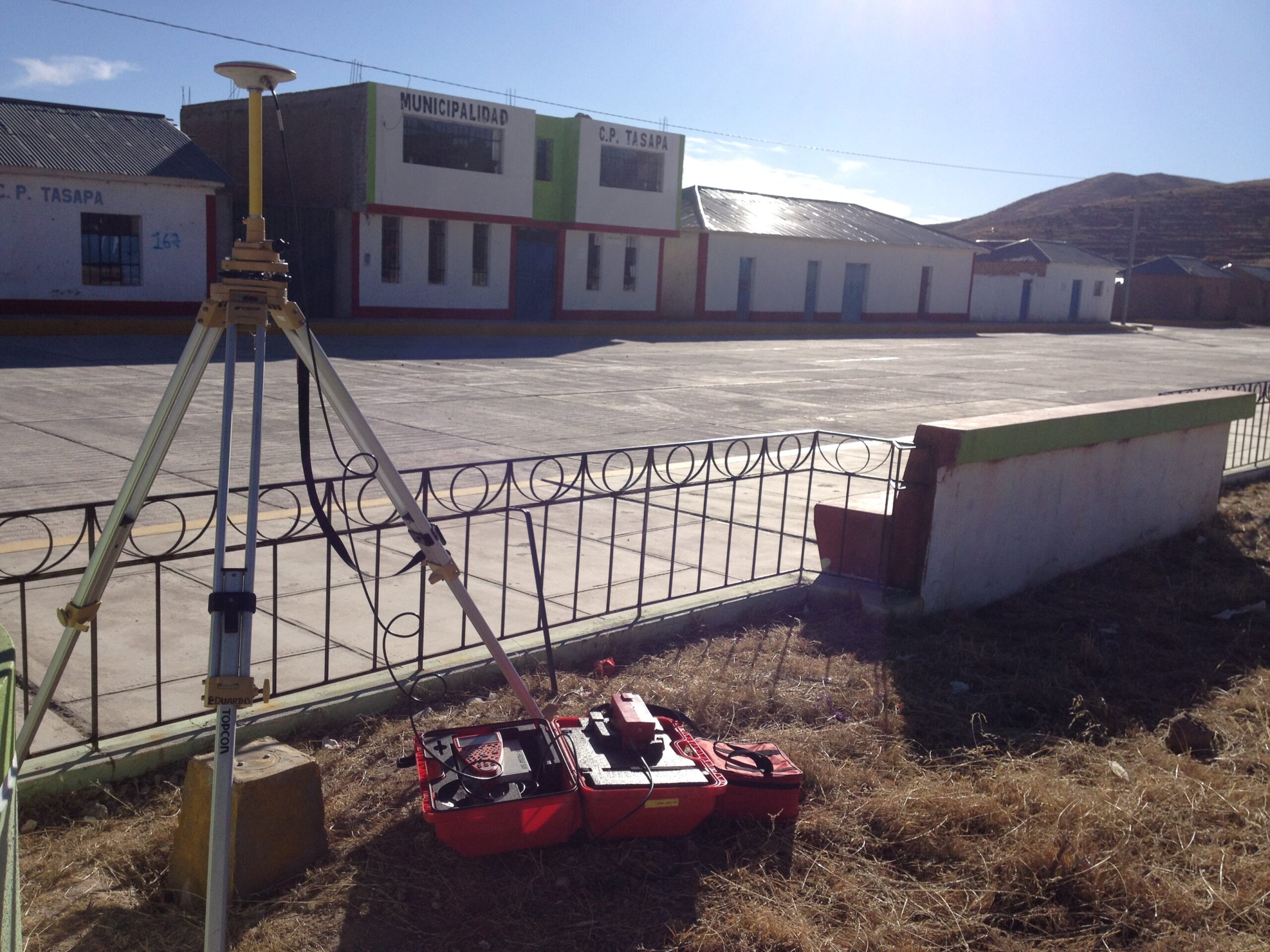
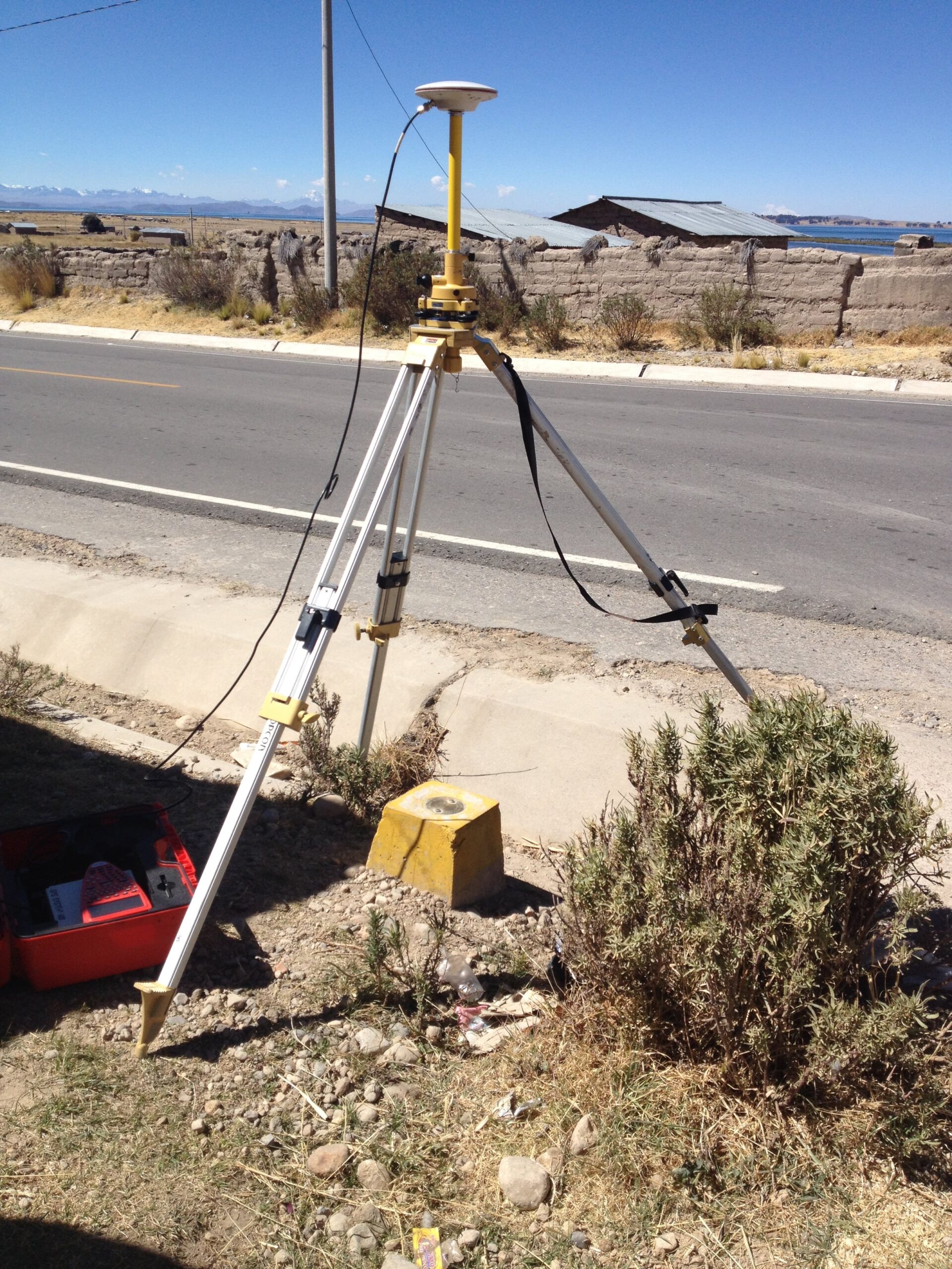
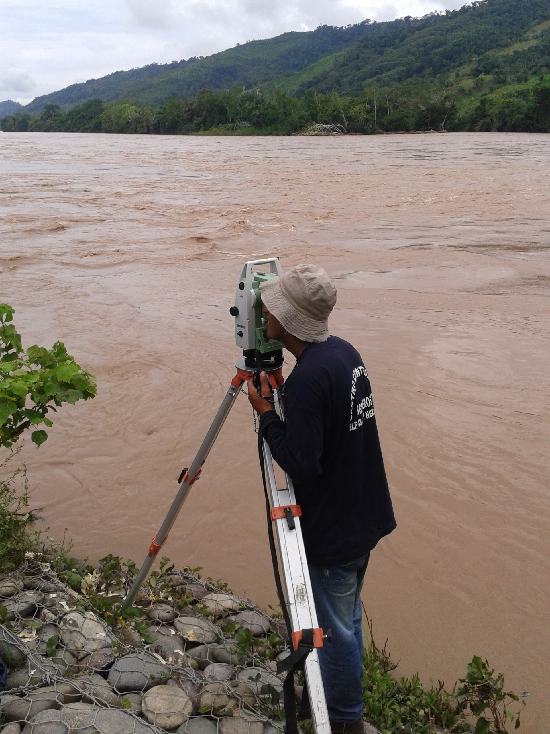
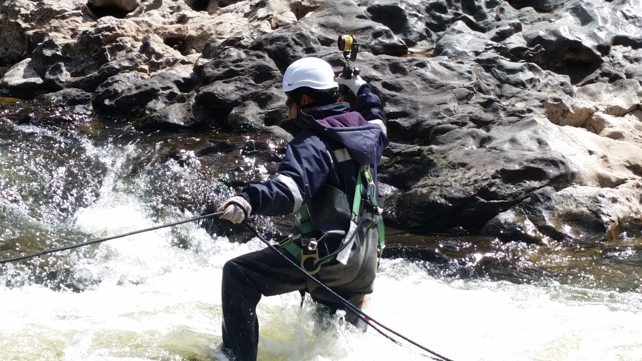
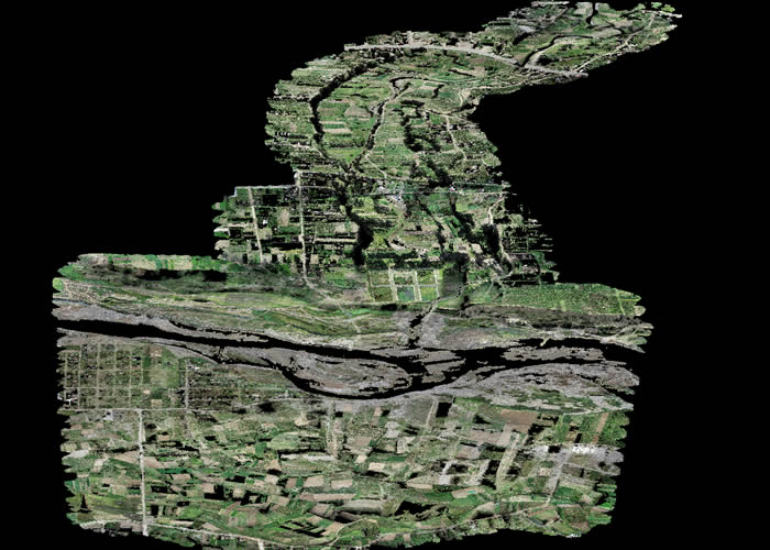
Aerial photogrammetry also known as drone photogrammetry. This technique, which uses aerial and ground images to obtain precise measurements and three-dimensional models, offers a number of key benefits for the planning and execution of public infrastructure projects.

grafico obtenido con la tecnica de fotogrametria con drones
Graphic obtained through the aerial photogrammetry technique with drones.
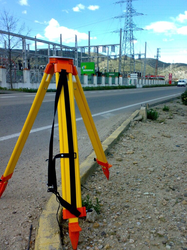
  1. Precision and Accuracy: One of the greatest benefits of photogrammetry in public infrastructure construction is its ability to provide precise and accurate measurements. High-resolution aerial and ground images capture minute details of the terrain and existing structures. This allows engineers and architects to work with reliable data to make critical decisions in project design and execution.
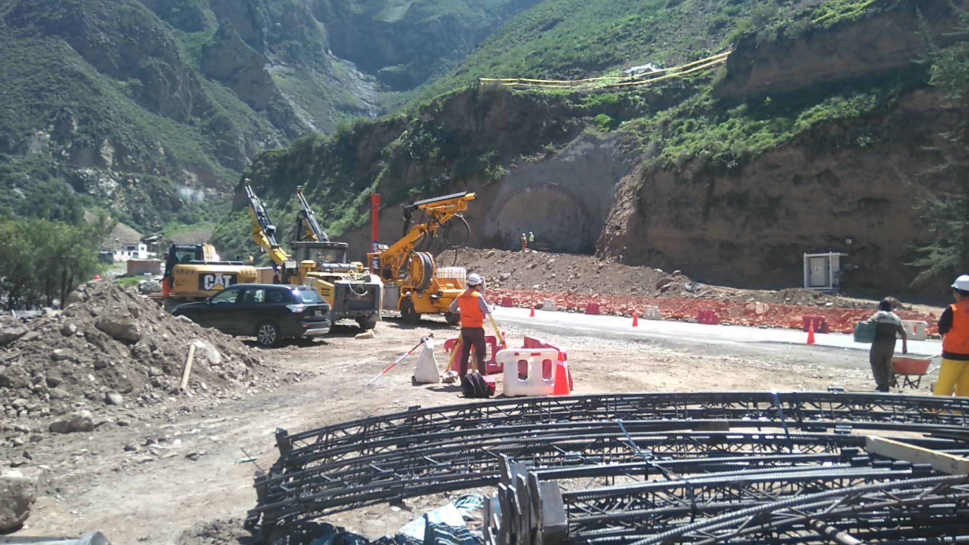
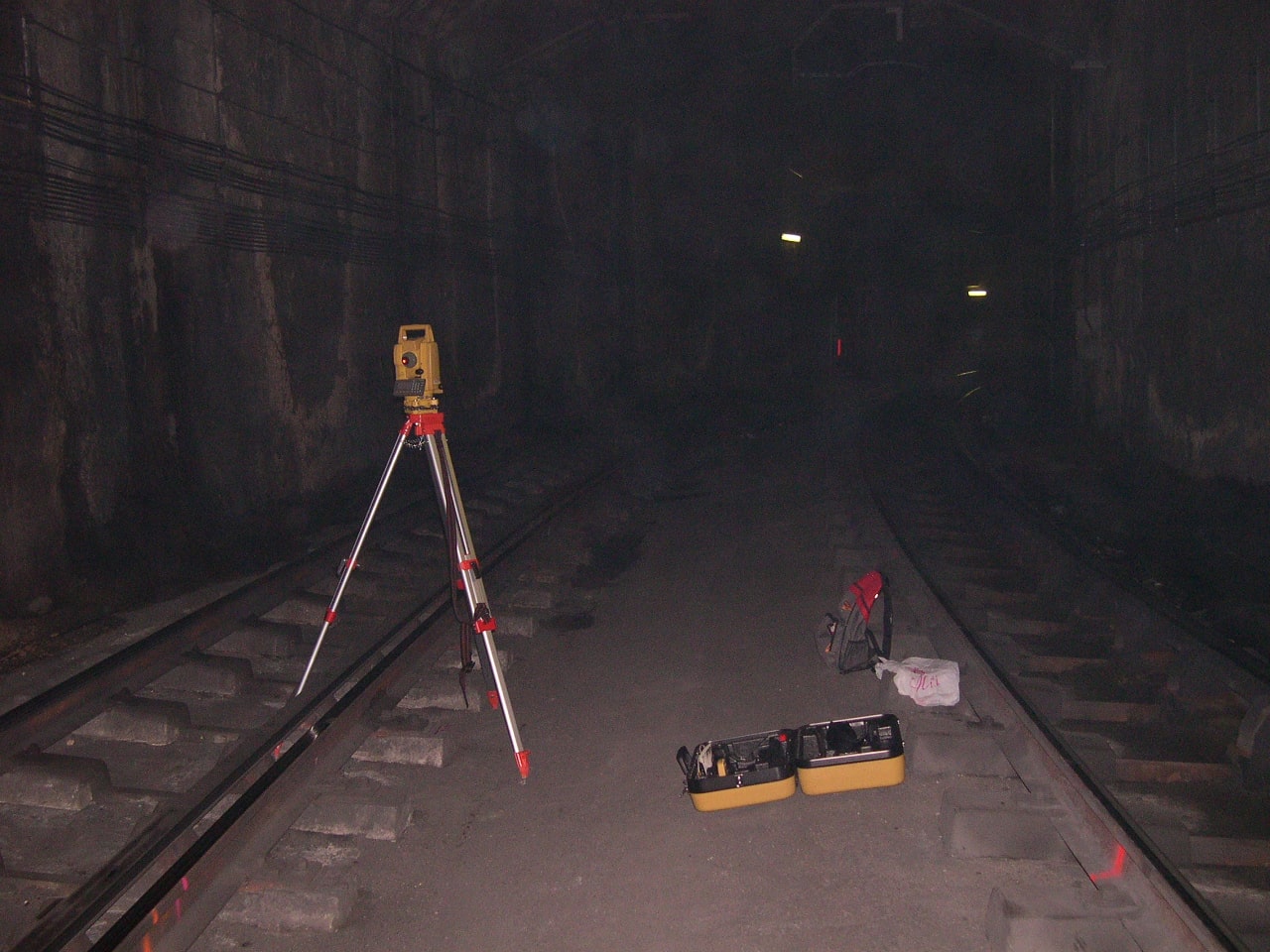
  2. Reduction in Project Costs and Time: Photogrammetry significantly speeds up the topographic survey process and data capture. Compared to traditional manual measurement techniques or total stations, photogrammetry saves considerable time and resources. This results in reduced project costs and faster completion of public works.
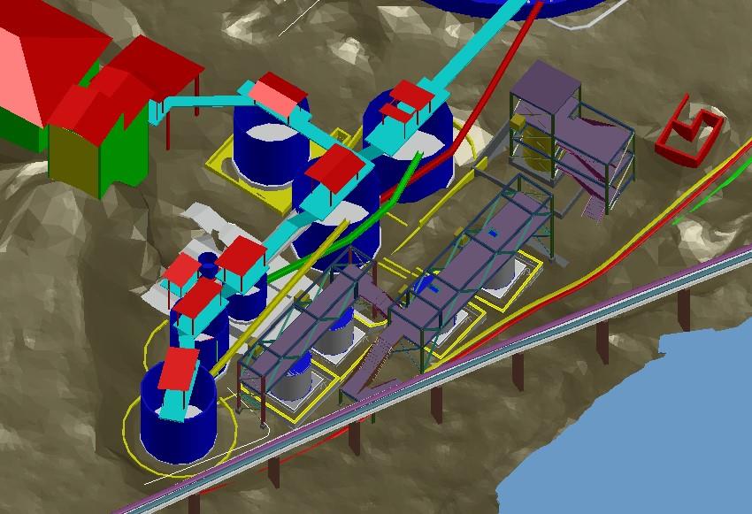
  3. Improved Planning and Design: Photogrammetry provides a comprehensive and detailed view of the construction environment. Engineers and designers can use three-dimensional models to analyze the terrain, identify potential challenges, and optimize the placement of infrastructure. This leads to a more efficient design and the minimization of unforeseen problems during construction.
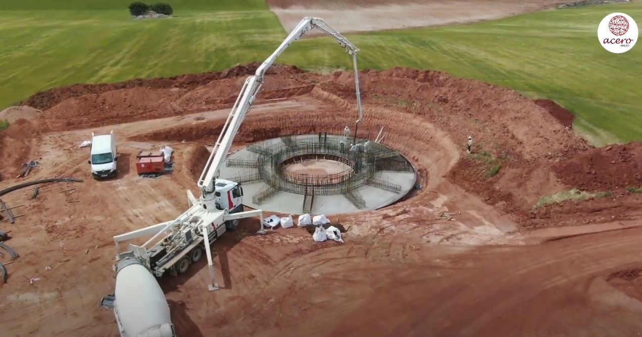
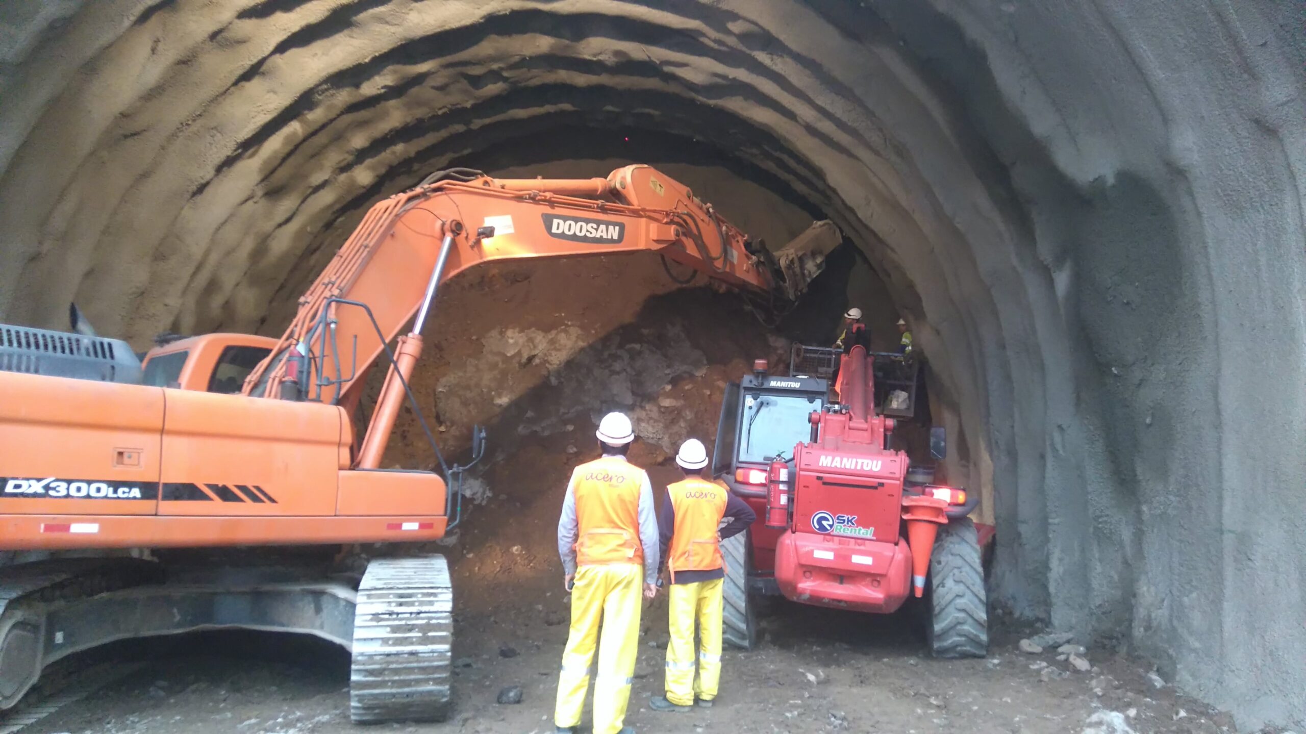
  4. Progress Monitoring and Control: During project execution, photogrammetry can be used for progress monitoring and control. By comparing images before and after the works, it is possible to evaluate the progress and quality of the work. This facilitates timely decision-making and allows deviations to be corrected before they become costly problems.
  5. Safety and Risk Reduction: Photogrammetry also contributes to improving safety in public works. By providing detailed information about terrain and site conditions, construction teams can identify and mitigate potential risks. Additionally, accurate planning reduces the likelihood of accidents and mishaps.
  6. Complete Project Documentation: Photogrammetry creates complete project documentation that includes images, 3D models, and detailed measurements. This is invaluable for future references, maintenance and possible infrastructure expansions. It also facilitates communication with stakeholders and reporting to regulatory authorities.
  7. Improved Decision Making: By having accurate and updated data in real time, project managers and authorities can make informed and strategic decisions. This is especially important in public infrastructure projects, where the financial and social implications are significant.
  8. Minimizing Environmental Impact: The ability to accurately assess terrain and environmental conditions allows project planners to minimize environmental impact. This includes protecting sensitive areas and implementing measures to reduce the ecological footprint of the building.

This technology has proven to be a valuable tool for engineers and architects working on public infrastructure projects, contributing to the creation of more efficient, sustainable and safe infrastructure for communities around the world. Contact Acero Estudio and request more information about our aerial photogrammetry service with the use of drones.

Advantages of using drones in construction

use of drones in construction sector

Advantages of using drones in construction

The use of drones for construction management has been growing exponentially in recent years. They offer many advantages in terms of tracking, surveillance and location inspection with good, faster and more accurate results.

Below, we present some of the main advantages provided by the use of drones in the construction sector.

Vista de profesional con el dron para la realización de la topografía del terreno
Drones provide various benefits for construction, engineering and architecture

1. Precise mapping

Most of the time, manual data collection and map generation are labor-intensive and time-consuming tasks. Drones can speed up this process by 60-70%. They provide high resolution photos, video capture and data through a LiDAR sensor or through the drone photogrammetry technique.

The LiDAR sensor transmits a laser beam and measures its reflection. Very useful for mapping, especially in topography when there are difficulties in accessing technicians. Construction drone surveying not only simplifies mapping, but also facilitates 3D modeling and analysis.

2. Minimum risk

Drones can replace people in the process of ensuring safety when accessing certain places. By integrating the drone with the monitoring device, real-time information is obtained and problems in certain areas can be instantly identified.

Therefore, the risk of accidents involving people and heavy equipment can be reduced during inspections in areas prone to hazards and risks.

3. Monitoring productivity and responsibility in the field

Drones used in construction make it possible to monitor team productivity. They can also check whether the equipment is installed or not. Therefore, they can easily identify the issue that is causing the project to run slowly. Easy and effective management.

4. Greater effectiveness in Marketing

Photos and videos are the best options to show the project. Until the emergence of drones a few years ago, certain operations could only be carried out with a helicopter to take photos and videos.

The high cost of a helicopter flight has no comparison with the accessibility in economic terms of a drone flight. The costs related to obtaining photos and videos are not parallel to their quality, flexibility, time and safety compared to the drone. These solve the same difficulties effectively.

Thanks to this technology, marketing efforts gain more with high-quality images. You can capture gorgeous projects from different angles in a relatively short time. The company can satisfy stakeholders with progress they can see visually.

Conclusion

The application of drones for construction management provides various benefits regarding safety, costs and time. Drones increase project efficiency with rapid data collection, mapping, and analysis. Furthermore, the information obtained can provide additional advantages if it is integrated with specific computer applications for construction, as it automates management tasks with access to real-time data.

The future of drones in construction will not stop. These benefits are just a few examples. As the technology develops, drones are expected to help construction companies in a wider area.

Also remember that at Acero Estudio we provide various services dedicated to reducing construction risks such as:

Contact us and request a quote for our services, we are here to assist you.

Topography and Drones, A Perfect Combination

retocada

In the current era, marked by technological advancements and a growing demand for efficiency across multiple sectors, the combination of surveying services and drones has emerged as a perfect alliance. This synergistic collaboration between surveying and drone technology has unlocked a wide range of applications and opportunities that are radically transforming the way we approach supervision, construction, and planning projects.

The use of drones in surveying is extremely versatile, and while their applications are varied, they particularly excel in construction and facility monitoring. At Acero Estudio, a company specialized in surveying, we have recognized the potential of this combination and have successfully implemented it in numerous projects.

A critical aspect in the preparation of any project, especially in the realm of large-scale public and civil works, is the meticulous study of the environment where the future action will take place. Precision and comprehensive understanding of terrain conditions are essential to ensure construction success and to avoid potential complications or delays in the process. This is where drones make their triumphant entrance, allowing for quick and precise detailed inspections and visual detection of potential obstacles.

The speed and efficiency of drones in this context are unparalleled. Before the era of drones, collecting topographic data involved lengthy manual procedures and costly ground operations. However, with the deployment of drones equipped with advanced sensors, surveying has become much more accessible and efficient. Drones can fly over extensive areas in a matter of minutes and provide detailed data ranging from terrain topography to the identification of key features such as buildings, roads, or vegetation.

One of the most notable benefits of using drones in surveying is their ability to capture high-quality images and videos. These images and recordings offer a precise visual representation of the current state of a work in progress, greatly facilitating the presentation and analysis of project execution progress. There is no longer a need to rely solely on abstract data or written reports; drones provide a comprehensive and detailed real-time view of the work.

This visual aspect is particularly useful for communication and collaboration in construction projects. Images and videos captured by drones can be easily shared with all stakeholders, from engineers and architects to clients and regulatory authorities. This transparency and clarity in data presentation can help avoid misunderstandings, clarify doubts, and streamline decision-making, thereby contributing to keeping the project within the established schedule and budget.

Furthermore, the use of drones in surveying extends beyond monitoring ongoing works. They are also employed in the initial planning stages of projects, allowing for a detailed assessment of terrain conditions before the first stone is laid. This is essential for identifying potential geographical or environmental challenges that may arise during construction. The ability to anticipate and address these challenges from the outset can prevent costly setbacks and design modifications later in the process.

Another significant advantage of drones in surveying is their ability to conduct periodic inspections and track project progress. Scheduled flight repetitions throughout the project allow for close monitoring of construction evolution and detection of any deviations from the original plan. This real-time tracking capability enables more effective resource management and a quick response to any issues that may arise during construction.

The integration of surveying and drones in the construction industry has proven to be a winning combination. The precision, efficiency, and ability to present detailed visual data offer invaluable value in the planning, monitoring, and execution of construction projects. In summary, the synergy between surveying and drones is paving the way for a more efficient and accurate future in the construction industry, benefiting all parties involved and ultimately the quality of the infrastructures we build.

Contact us to learn more about our surveying services as well as drone photogrammetry. We are at your service.

Topographic Survey – Topographic Services

levantamiento topografico en zona rural del peru

Topographic Surveying: An Essential Service for Construction and Project Planning

In the world of construction and architecture, precision is key. The infrastructure that is built must be safe, functional and aesthetically pleasing, but it all starts with a detailed understanding of the terrain on which it will be built. This is where land surveying comes into play, an essential surveying service that measures and represents the characteristics of a land surface. Without a doubt, this process is one of the fundamental pillars in project planning.

apoyo tecnico topografico de acero estudio en la construccion del tunel chacahuaro en lima
TECHNICAL SURVEYING SUPPORT of Acero Study in the Construction of the Chacahuaro Tunnel in the Department of Lima

Fundamental Pillars for Project Planning

Topographic surveying has become a highly specialized discipline that uses advanced techniques to obtain a detailed plan of the terrain. It is not limited to simply drawing a flat map; It goes much further by showing elevations and low areas with an impressive level of detail. In addition, it is capable of identifying and representing existing elements on the ground, such as trees, buildings or roads. This service is the first step towards creating a design that works in harmony with the natural environment.

For construction and architecture companies, surveying services such as land surveying are invaluable. By having precise knowledge of the terrain, architects and engineers can design structures that take advantage of the natural shape of the terrain’s slopes, taking advantage of its natural characteristics. This approach not only promotes the aesthetics and functionality of the design, but also generates significant savings by adapting to the existing topography instead of trying to modify it.

levantamiento topografico en piura peru

Surveying also plays a crucial role in geographic risk management. Nature can be unpredictable, but with the information provided by this service, it is possible to anticipate and manage a series of challenges. For example, flood zones can be detected, which is essential for planning construction projects near bodies of water or flood-prone areas. Likewise, areas of unstable land can be identified, allowing architects and engineers to plan construction processes that anticipate these challenges, thus avoiding costly corrections later in the project.

Furthermore, surveying not only benefits builders and architects, but is also essential in a variety of industries. For example, in the field of agriculture, this technique is used to plan irrigation and crop planting efficiently, taking advantage of the characteristics of the terrain to optimize production. In the energy field, it is used in the planning of wind and solar farms, ensuring that facilities are placed in optimal locations in terms of exposure to the sun and wind. Even in the realm of cartography and geology, topographic surveying is essential for creating accurate maps and understanding the geology of a region.

Surveying is much more than a simple measurement tool. It is an essential service that supports project planning, ensures the safety of structures and enables efficient management of geographic risks. From home construction to large-scale infrastructure projects, this discipline is an integral part of the construction industry and plays a critical role in creating a safe and functional built environment. Therefore, it is no exaggeration to say that land surveying is the foundation on which our world is built.

Other topographic services are:

  • Polygonal Topography
  • Geometric Leveling
  • Photogrammetry
  • LIDAR
  • 3D Laser Scanning

Contact Acero Estudio, a company specialized in topographic studies, we are at your service.

Topography Works in Huancavelica (Peru)

Topographic survey services play a crucial role in construction, infrastructure development, and natural resource management, providing precise measurements of land features. In regions like Huancavelica, Peru, where the terrain is mountainous and conditions can be challenging, topographic work becomes even more critical. However, it also brings significant risks that must be carefully managed to ensure the safety of workers and the accuracy of the data collected.

Contact Acero Estudio and ask about our topographic services, we work for your project.

Topography in Chacahuaro Tunnel (Peru)

asistencia tecnica en servicios topograficos avanzados a proyecto de túnel chacahuaro

Acero Estudio was the provider selected to develop topographic support for the construction of the Chacahuaro Tunnel in Lima, Peru. This challenging infrastructure project required topographic surveys to ensure the tunnel’s alignment, safety, and structural integrity. Our team conducted detailed terrain analysis, mapping, and elevation assessments, delivering accurate data critical to the tunnel’s design and construction.

With our equipment, including total stations, GPS systems, and LIDAR technology, we identified key geographical features and potential obstacles that could impact the construction process. Our technical expertise played a vital role in guiding the excavation and alignment of the tunnel, ensuring that every step of the project adhered to strict engineering standards.

Contact Acero Estudio, to benefit from a specialized team with extensive experience in topographic surveys for major infrastructure projects. Our focus on accuracy, advanced technology, and tailored solutions ensures that every project receives the technical support it needs to succeed.

Topography Works

Acero Estudio recently completed a comprehensive topographic survey for a metro station planning significant expansions. Our team conducted detailed land assessments, using state-of-the-art equipment such as drones, LIDAR, and GPS technology to capture precise measurements of the station’s existing infrastructure. The survey included terrain mapping, boundary delineation, and identifying potential obstructions, providing crucial data for engineers and architects to plan the expansion accurately.

Accurate surveys are essential for identifying ground conditions, ensuring construction safety, and avoiding costly errors during the expansion process. By delivering a highly detailed and precise topographic map, we enabled the project team to make informed decisions, minimize risks, and optimize design plans.

Contact Acero Estudio to ensure that every aspect of your project is built on a foundation of precision.