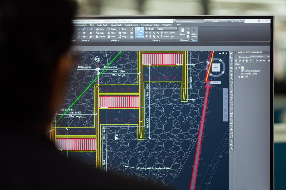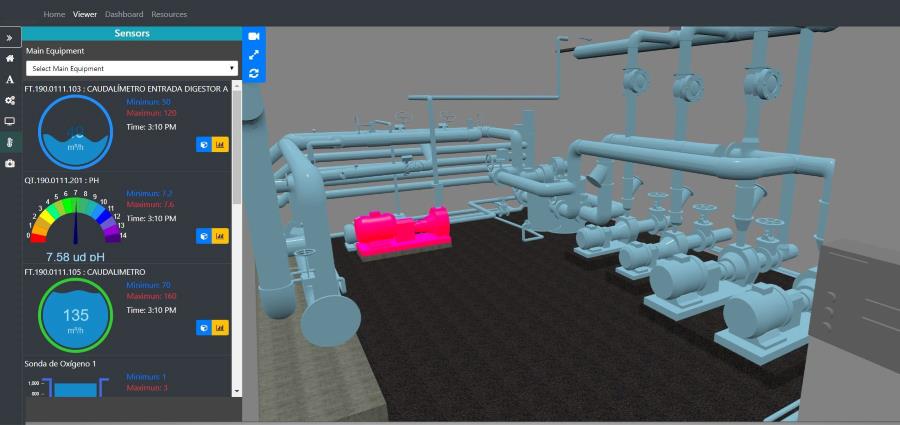
The BIM methodology offers a significant advantage by enabling real-time functionality. This means that any modifications made to the BIM model are automatically updated in all related documents and plans.
This technical feature is far more than just a technicality; it ensures that all project participants are always working with the most current information, thus eliminating the risk of errors due to lack of synchronization and the need for manual updates across multiple files.
Benefits of Real-Time Functionality in BIM
- Error Reduction: With data being updated instantly, errors and duplications are minimized since all professionals access the same updated model, avoiding work on outdated documents or older versions.
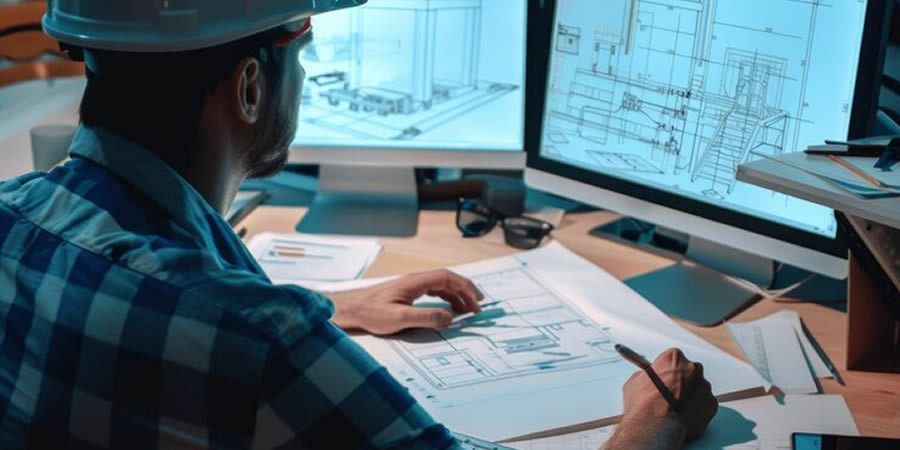
- Avoidance of Work Duplication: Architecture, engineering, and construction teams can collaborate on a single model reflecting the project’s current state. This streamlines communication and decision-making, as all team members view changes in real time.
- Resource Optimization: Automated updates eliminate the need for manual review and modification of multiple documents. This saves time, reduces resource use, and allows teams to focus on value-added tasks.
- Quality Control and Monitoring: Real-time information facilitates ongoing project progress tracking and enables early detection of potential issues or discrepancies in design and construction.
- Greater Transparency for Clients: Clients and other stakeholders can review the updated model in real time, providing a clear, detailed view of the project status, thus enhancing transparency and trust in the construction process.
In summary, real-time updating in BIM not only optimizes workflow and information accuracy but also transforms the way construction projects are managed. By ensuring that all parties involved work with the latest information, BIM methodology enables effective coordination and more efficient and reliable project execution.
If you’re ready to implement BIM through software such as Revit or others, don’t hesitate to contact us for information on our BIM consulting services. Remember that at Acero Estudio, we are BIM specialists at your service.
Avoid errors and improve project planning. We’re here to help you.