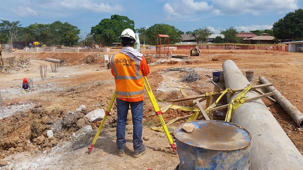
Leveling is an essential technique in topographyc surveying, as it allows for the precise determination of the relative height between specific points on a given plot of land. This practice is key in the planning and execution of engineering, construction, and cartographic projects, as it provides crucial information about the terrain’s relief. This, in turn, facilitates the design of structures that adapt to the site conditions and optimizes the calculation of necessary earthworks.
Additionally, understanding the slopes of the terrain is fundamental for the architectural development of a project. This knowledge enables the proper design of vital infrastructure, such as sanitary systems, which rely on a minimum slope to ensure the correct flow and evacuation of fluids. In areas with steep inclines, the topographic data obtained through leveling is indispensable for determining whether cut and fill operations are required or if stepped constructions will be used to take advantage of the natural topographic features.
Below, we will explore the different types of leveling used in surveying, each with its characteristics and applications:
Geometric Leveling
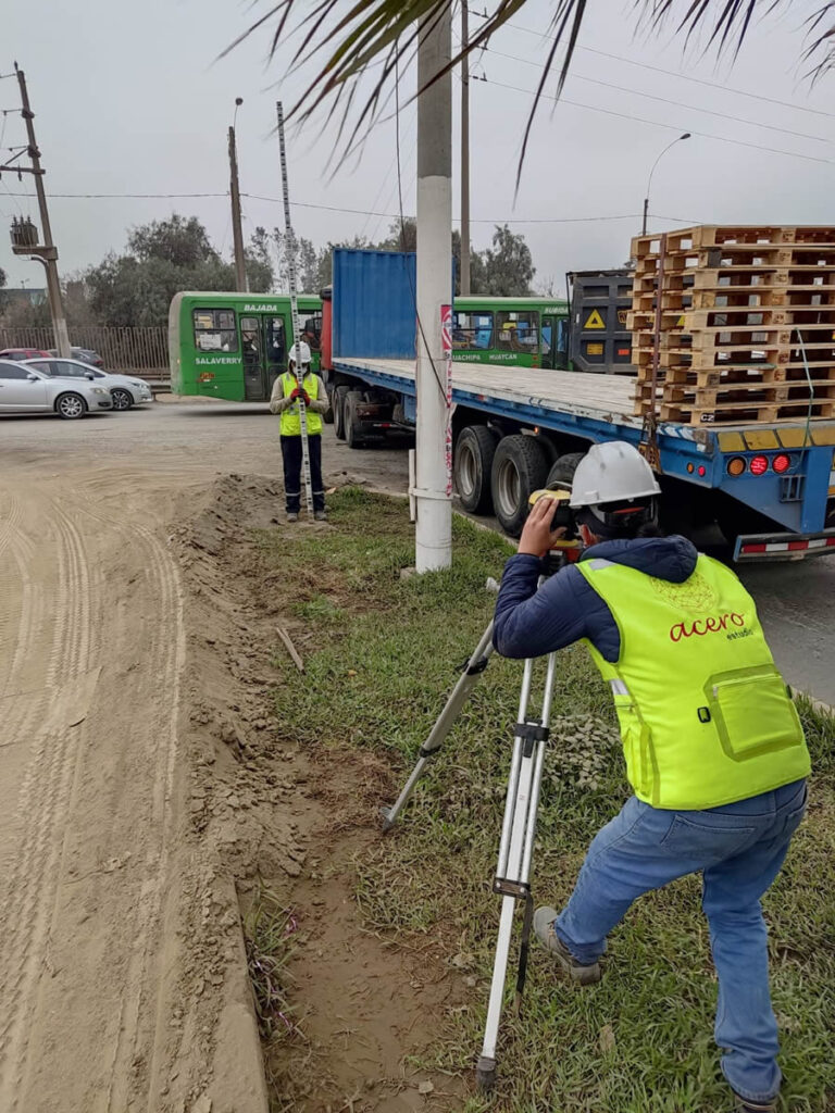
Also known as differential leveling, it is one of the most precise and commonly used methods in surveying. This method is based on the use of an optical or automatic level and a leveling rod to measure the difference in height between two points. It is carried out by establishing a horizontal line of sight and reading the elevations at different points.
It is commonly used for:
- Civil engineering and construction projects
- Road and railway construction
- Installation of public utilities
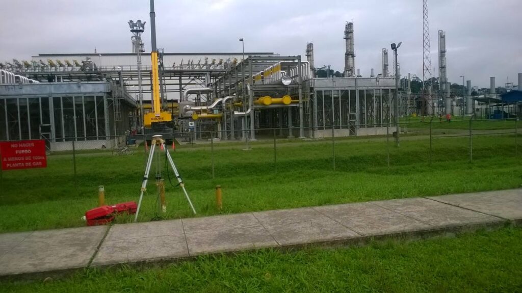
Trigonometric Leveling
This method is based on the use of angles and distances measured with a theodolite. It involves measuring vertical and horizontal angles along with the distance between points of interest to calculate the height difference using trigonometric formulas. This method is especially useful in rugged terrains where geometric leveling can be difficult to implement.
This method is suitable for:
- Mapping mountainous terrains
- Geological and mining studies
- Installation of telecommunications towers and power lines
Barometric Leveling
This method uses atmospheric pressure to determine the elevation of different points. It employs barometers or altimeters to measure air pressure at various locations and then calculates the height difference based on pressure variations. Although less precise than other methods, it is useful for preliminary surveys and in extensive areas where other methods would be impractical. It is commonly used in:
- Geographic explorations
- Environmental studies
- Topographic surveys in remote areas
GPS Leveling
This method uses satellites to determine the elevation of specific points relative to sea level. It employs GPS receivers to capture signals from multiple satellites and calculate the height using complex algorithms. GPS leveling is increasingly popular due to its high precision and ability to cover large areas quickly.
It is optimal for:
- Digital mapping
- Topographic surveys in large infrastructure projects
- Monitoring and managing natural resources
Hydrostatic Leveling
This method uses the principle of communicating vessels to determine height differences. It involves using a tube filled with liquid (usually water) that connects two points. The height of the liquid at both ends of the tube is measured to calculate the height difference between the points. It is a simple and effective technique for short distances and in areas where other methods are impractical. It is especially useful for indoor installations, leveling buildings and structures, and adjusting machinery and equipment, where the simplicity and economy of the method are significant advantages.
In conclusion, the choice of leveling method in surveying depends on several factors, including the required precision, terrain characteristics, the extent of the area to be covered, and available resources. Each method has its own advantages and applications, so it is essential to consult with specialists to determine the most appropriate method for each case.
Contact Acero Estudio and request more information about our topographyc surveying services; we are here to help you realize your projects.