Is it possible to carry out surveying with drones?

is it possible to carry out surveying with drones

In recent years, drone surveying has gained prominence among surveying services due to its efficiency and accuracy. Various prestigious brands offer drones, equipped with specialized sensors and mapping technology, these tools facilitate the collection of detailed topographic data as well as data that can later be compared with already prepared plans or used to carry out other types of studies. This approach has proven valuable in topographic surveying, providing crucial information on elevations, slopes, and geographic features.

In addition to topographic surveying, drones are capable of generating three-dimensional models of the terrain. This 3D modeling capability not only makes it easier to visualize topography, but also improves analysis and understanding of the geographic environment.

Another notable application is surface change control. By carrying out periodic flights, drones make it possible to monitor alterations in the terrain over time, such as erosion, construction or any relevant modification.

In the field of project planning and design, topographic data obtained from drones is essential. Detailed information streamlines the decision-making process and contributes to efficiency in construction, engineering and agricultural projects.

Additionally, precision agriculture benefits greatly from drone surveying. These devices can perform elevation maps and analyze crop health, providing valuable data to optimize agricultural practices.

The most commonly used sensors in surveying drones include RGB cameras, multispectral cameras, LIDAR (Light Detection and Ranging) and ultrasound sensors.

Drone surveying offers significant advantages, such as reduced time and costs compared to traditional surveying methods. Additionally, the ability to obtain real-time data and flexibility in flight planning make this technology increasingly popular in various fields.

Contact us and request more information about our drone topography and aerial photogrammetry services, we are at your service.

Construction Monitoring: The importance of continuous topography

importancia de la topografia continua
  • Introduction
  • Continuous Surveying Case in Action
  • Benefits of Continuous Surveying in Permanent Constructions
  • Types of Construction that Require Continuous Topographic Monitoring
  • Conclusions: The Crucial Need for Continuous Surveying in Construction Sites

1. Introduction

Construction monitoring is an essential facet in the construction and development of projects and continuous surveying is a tool that often makes the difference between the success and failure of a construction or engineering project. This article will explore the importance of having surveying services on an ongoing basis throughout the entire project, examining its benefits and highlighting the types of construction that crucially require this service.

2. Practical Case of Continuous Surveying in Action

There are cases in which a large-scale construction project requires great topographical efforts continuously throughout the construction process; This process is called continuous surveying. If initial surveying provides the foundation, continuous surveying ensures that the infrastructure will remain stable and safe throughout the construction process.

Thanks to the advancement and technology of our work, we can provide sensors that will accurately constantly monitor soil deformations, guaranteeing structural integrity and providing adequate data to take corrective actions before a structural collapse occurs.

3. Benefits of Continuous Surveying

Continuous surveying goes beyond simple initial measurement. It provides constant monitoring of the work, detecting any unexpected changes, which provides higher levels of security and optimizes resources by preventing problems before they worsen.

4. Types of Construction that Require Continuous Topographic Monitoring

Not all constructions demand the same level of topographic monitoring. Those of a permanent nature, such as bridges, skyscrapers, tunnels, dams and critical infrastructure projects, benefit significantly from continuous topography. The long-term stability of these structures requires constant attention to ground conditions and possible changes. Topographical surveying is no longer enough.

5. The Crucial Need for Continuous Surveying in Construction Sites

Continuous topographic monitoring stands as a fundamental pillar in risk management and effective planning, ensuring that each construction is a lasting testament to human skill. Ultimately, continuous surveying is not only a safety measure, but a wise investment for the present and future of engineering and construction.

The importance of Topography in the Construction of Industrial Plants

The design and construction of an industrial plant is a project of great magnitude and great importance for the companies that carry it out. Due to the risks involved, the size of the investment and the uses it will have; A work like this requires millimeter precision and careful planning to avoid serious errors or future risks for people and investment.

Reducing risks is where topography becomes an indispensable ally to detail every centimeter of the land. Knowledge of these characteristics will allow us to develop a construction adapted to its environment, safe with respect to potential natural disasters and also efficient in terms of taking advantage of the benefits of the area.

In this short article we will learn how when carrying out a topographic survey we not only provide efficiency but also reduce risks in the construction of industrial plants.

In industrial construction, risks range from ground instability to errors in the alignment of heavy machinery that can result in accidents or structural defects. Surveying identifies potential problems before they become real dangers. By revealing variations in terrain, potential flood zones, or subsurface inconsistencies, surveyors enable construction teams to proactively anticipate and mitigate these risks.

Before the first brick is placed, the topography will provide us with a faithful and exact representation of the terrain. Using advanced technologies such as 3D laser scanning and aerial drone photogrammetry (to create digital models), engineers and architects design with precise knowledge of site characteristics, resulting in more efficient use of resources. and an optimization of the plant design that translates into significant savings.

Modern surveying, with its precision, plays a vital role in cost estimation. By providing accurate data, you help avoid wastage of materials and human resources. The ability to accurately plan the required quantities of materials and labor required for each phase of the project prevents cost overruns and reduces the need for costly adjustments in the future.

Once construction begins, Acero Estudio’s topography services play a vital role allowing:

  • Constant comparison of current site conditions with design plans
  • Identifying and correcting ground deviations in real time
  • Keeping the project on its planned trajectory and within safety parameters

In addition to these important improvements, topography can help us:

  • Locate the best areas for the installation of tanks and cisterns
  • Maximize land use
  • Locate the most appropriate areas for merchandise maintenance
  • Locate the most optimal areas for logistics areas

The success of the construction of an industrial plant or warehouse is a very important factor that is achieved through various knowledge and professionals. The discipline of topography is one of these knowledge that, when integrated with construction capabilities, provides security and responsible risk management.

Ask more about our surveying services, we will be happy to assist you.

The Total Station in Surveying: An Essential Instrument for Accurate Measurements

total station

One of the most essential and versatile tools used in surveying services is the total station. In this article, we will explore in detail what a total station is and how it is used in surveying.

A total station is an advanced surveying instrument that combines several essential functions in a single device. Unlike traditional surveying instruments such as theodolite and scope, the total station is an all-in-one tool that allows surveyors to make accurate measurements of horizontal and vertical angles, as well as distances, heights and elevations. These measurements are made with remarkable precision, making it an indispensable tool in the field of modern surveying.

Components of a Total Station

Total stations consist of several key components:

  • Theodolite: The theodolite incorporated in a total station is responsible for measuring horizontal and vertical angles with great precision. It allows surveyors to point to specific points on the ground and determine directions and elevations accurately.
  • Distancemeter: Total stations are equipped with a distancemeter that uses laser or electronic technology to measure distances between the total station and the point of interest. This allows obtaining precise coordinates.
  • Spirit Level: A spirit level built into the total station ensures that the instrument is perfectly level, which is essential for accurate angle and elevation measurements.
    Screen or viewer: The total station generally has a screen or viewer where the collected data, such as angles, distances and coordinates, are displayed. Some modern total stations even have touch screens for a friendlier user interface.

Use of the Total Station in Topography

Total stations are used in a wide variety of surveying applications, including:

  • Topographic Surveys: To measure the elevation, distance and direction of points on the Earth’s surface, allowing the creation of detailed topographic maps.
  • Construction project control: In the planning and execution of construction projects, such as buildings, roads and bridges, to ensure that structures are built according to specifications.
  • Property surveying and demarcation: To determine property boundaries and create accurate cadastral plans.
  • Monitoring of deformations and changes: In geodetic studies to measure the deformation of structures or the movement of the ground over time.
  • Geology and geophysics: In geological studies to determine the stratigraphy of the subsoil and in geophysical studies to investigate the properties of the terrain.

Advantages of Total Stations

Using a total station offers several advantages, such as:

  • Greater precision: Allows highly precise measurements of angles, distances and elevations.
  • Efficiency: Simplifies the measurement process by combining multiple functions in a single instrument.
  • Speed: Facilitates obtaining data quickly and efficiently.
  • Data Storage: Many modern total stations can store and transfer data electronically, simplifying further processing of the information.

The total station is an essential tool in the field of modern surveying. Its ability to make accurate measurements of angles, distances and elevations with efficiency and ease makes it an invaluable instrument in a variety of applications, from creating detailed topographic maps to planning and executing construction projects.

Its incorporation of cutting-edge technology has transformed the way surveying measurements are made and has significantly improved the accuracy of the results.

Acero Estudio collaborates with the Peruvian Government in wastewater treatment

Escaneo de área de trabajo con dron para topografía en proyecto del tratamiento de aguas residuales


Public-private alliance in Peru: wastewater treatment for a sustainable future

In Peru, various projects have been carried out aimed at the construction of wastewater purification facilities (wastewater treatment), with the aim of improving water quality and protecting the natural environment. These projects are promoted through collaboration between the Peruvian government, non-governmental organizations and private companies. This initiative has gained momentum due to a growing awareness of the importance of preserving water resources and protecting the environment. As population and industrial activities have increased, it has become essential to implement systems that act as efficient and sustainable wastewater treatment plants.

Objective: preserve water resources by protecting the ecosystem

These projects aim to improve the quality of life of citizens, by expanding the water supply and enabling sanitation works. For this reason, the construction of wastewater treatment plants has been promoted in different regions of the country, benefiting thousands of people.

Acero Estudio has developed a significant role in the execution of topography projects in various Wastewater Treatment Plant projects in different regions of the coast, mountains and Peruvian jungle. In the jungle we can highlight projects in the cities of Tarapoto and Puerto Maldonado; in the mountains, in the provinces of Cusco, Huancayo and Cajamarca; and on the coast, in the provinces of Trujillo, Lima and Chincha.

fotogrametria Aérea del terreno en Perú
Survey with drone

Acero Estudio Latam leads surveying in wastewater treatment projects in Peru

Acero Estudio’s years of experience providing topography services has been fundamental in the execution of wastewater treatment plant projects. The georeferencing, polygonal, geometric leveling, bathymetry, photogrammetry with drones, LIDAR and detailed topographic surveys have provided precise information on the topography of the land, thus ensuring appropriate planning and execution of the works.

fotogrametría con drones del terreno en Perú

Committed to the development and well-being of Peru

Acero Estudio Latam’s commitment to contributing to the progress of the country and the well-being of the Peruvian population is evident in its active participation in projects at the national level. Our experience and technical competencies have played an essential role in increasing the efficiency and effectiveness of wastewater treatment plants, thus contributing to the protection of the environment and the availability of clean and safe water for all.

The wastewater treatment plant projects in Peru are an example of the country’s firm commitment to the preservation of water resources and the conservation of the natural environment. Acero Estudio Latam’s dedication to the development of the country and the well-being of Peruvians is reflected in its active participation in projects at the national level, ensuring their success and promoting the sustainable development of the country for the benefit of the entire Peruvian population.

Vista de profesional con el dron para la realización de la topografía del terreno

Take into account that Acero Estudio provides various services dedicated to reducing construction risks such as:

Contact us and request a quote for our services, we are here to assist you.

We work in Peru to rebuild El Niño floods and prevent new ones

estudios de topografia,

Acero Estudio works in Peru to reconstruct El Niño floods and prevent new ones

The intense rains and river overflows caused the destruction of homes, bridges and roads, generating a large number of people affected and displaced. In addition, there were human losses and basic services such as the supply of drinking water and electricity were affected. Agricultural infrastructure also suffered considerable damage, affecting food production and the local economy, especially for the northern region.

The Authority for Reconstruction with Changes (ARCC) developed the Comprehensive Plan for Reconstruction with Changes (PIRCC) to restore all physical infrastructure damaged and destroyed by the El Niño Coastal Phenomenon.

survey activities to prevent floodings in northern of peru

Acero Estudio collaborates in several reconstruction projects

From our headquarters in Peru we are developing the Topography Studies for the preparation of the project “Storm drainage of the city of Sullana”.

Additionally, within the study’s activities, we are carrying out field and office work on Geo-reference, Polygonals, Polygonal Leveling and Photogrammetry with Drones.

At Acero Estudio, a company specialized in topography services, we have a notable presence in Latin America (LATAM), as a consolidated company in the sector. With more than 25 years of experience and knowledge in the field of 3D Laser Scanning, BIM Consulting, CAD outsourcing service, Topography and Digital Twin, we have managed to establish a solid network of clients and strategic allies in various countries in the region through innovative products. and solutions,

Many thanks to our client TYPSA for the trust placed in us for the execution of the topography work.

fotogrametria y cartografia de la ciudad de sullana

Contact us and request more information about our topography, BIM consulting, LIDAR and cartography services; We are here to serve you.

The indispensable help of drones

topografia y drones

Drone technology is advancing at exponential rates and is increasingly accessible, which is why different sectors are taking advantage of and adopting drones in their work to drastically increase their efficiency. In other words, drones are changing the way businesses operate by reducing costs, saving time, improving safety and providing a direct return on investment, so their impact should not be ignored.

In particular, the use of drones in topography (topographic surveys with drones) represents a revolution. While the use of traditional methods provides more precision, the use of drones in this type of work offers more survey surface in the same period of time.

“There is a saying in the construction industry: “Time, cost and safety, pick two.” And what makes drones really transformative for us is that we can choose and improve all three.”

– Grant Hagen, Director of VDC, the Beck Group

As we already know, the use of drones brings with it a large number of advantages and each of these advantages has to do with their ability to reduce the time, danger and cost of the project. However, another very important factor to consider is this, are drones as accurate as traditional ground surveying methods?

For many years, the precision of drones has not lived up to their theoretical potential although this has begun to change. With drone solutions, a wide selection of surveying techniques is available that allows any project to be developed with excellent results.

At Acero Estudio, a company specialized in drones for topography, LIDAR and photogrammetry, we invested in drones for the development of this type of projects and we were not wrong. What are you waiting for to find out?

Take into account that Acero Estudio provides various services dedicated to reducing construction risks such as:

Contact us and request a quote for our services, we are here to assist you.

Drones and their transformation of the AEC industry

drone inspección de obras

Companies in the AEC (Architecture, Engineering, Construction) industry are using drones to quickly and accurately collect topographic data.

The architecture, engineering and construction sector has historically been slow to adapt to technology. In fact, according to a report by the McKinsey Global Institute, the construction sector is one of the least digitalized. This is underlined by another report, this one from JBKnowledge, which reveals that almost 60% of construction companies do not invest in new technologies.

Much of the AEC industry is using technologies and processes that no longer adequately serve their needs, either for projects or for associations. However, one area where the construction industry is expanding its use of emerging technology is the use of drones. Estimates by PricewaterhouseCoopers place sources of drone work for infrastructure at a market value of $45.2 billion. Today, an increasing number of disciplines within construction projects – such as designers, surveying companies, environmental consultants, builders and inspectors – use drones in the field to take aerial photography (drone photogrammetry). , volumetric analysis and topographic mapping, among many other things.

The ability of drones to collect real-time data on the jobsite has dramatically increased workflow and efficiency in design and construction. Drones are used most frequently in construction to carry out studies on construction sites, as is the case of our company, Acero Estudio, supervising the progress of the GECAMA wind farm in Cuenca, with the help of this technology. . Drones capture data that surveyors need but typically cannot see, as they have an unobstructed, high-altitude view of the construction site.

This also helps make the construction site safer, as drones can inspect difficult or dangerous terrain, keeping human surveyors out of harm’s way and helping construction workers avoid dangerous areas. For all these reasons, drones are replacing traditional methods of terrain surveillance and greatly reducing the time and manual work required.

It is an irony that the AEC sector is one of the slowest to adopt new technologies and yet one of those that could benefit the most from them. However, this sector has more readily adopted the use of drones, which can save large design and construction projects a lot of time and money.

Learn more about Acero Estudio

Take into account that Acero Estudio provides various services dedicated to reducing construction risks such as:

Contact us and request a quote for our services, we are here to assist you.

Topography and Drones, A Perfect Combination

retocada

In the current era, marked by technological advancements and a growing demand for efficiency across multiple sectors, the combination of surveying services and drones has emerged as a perfect alliance. This synergistic collaboration between surveying and drone technology has unlocked a wide range of applications and opportunities that are radically transforming the way we approach supervision, construction, and planning projects.

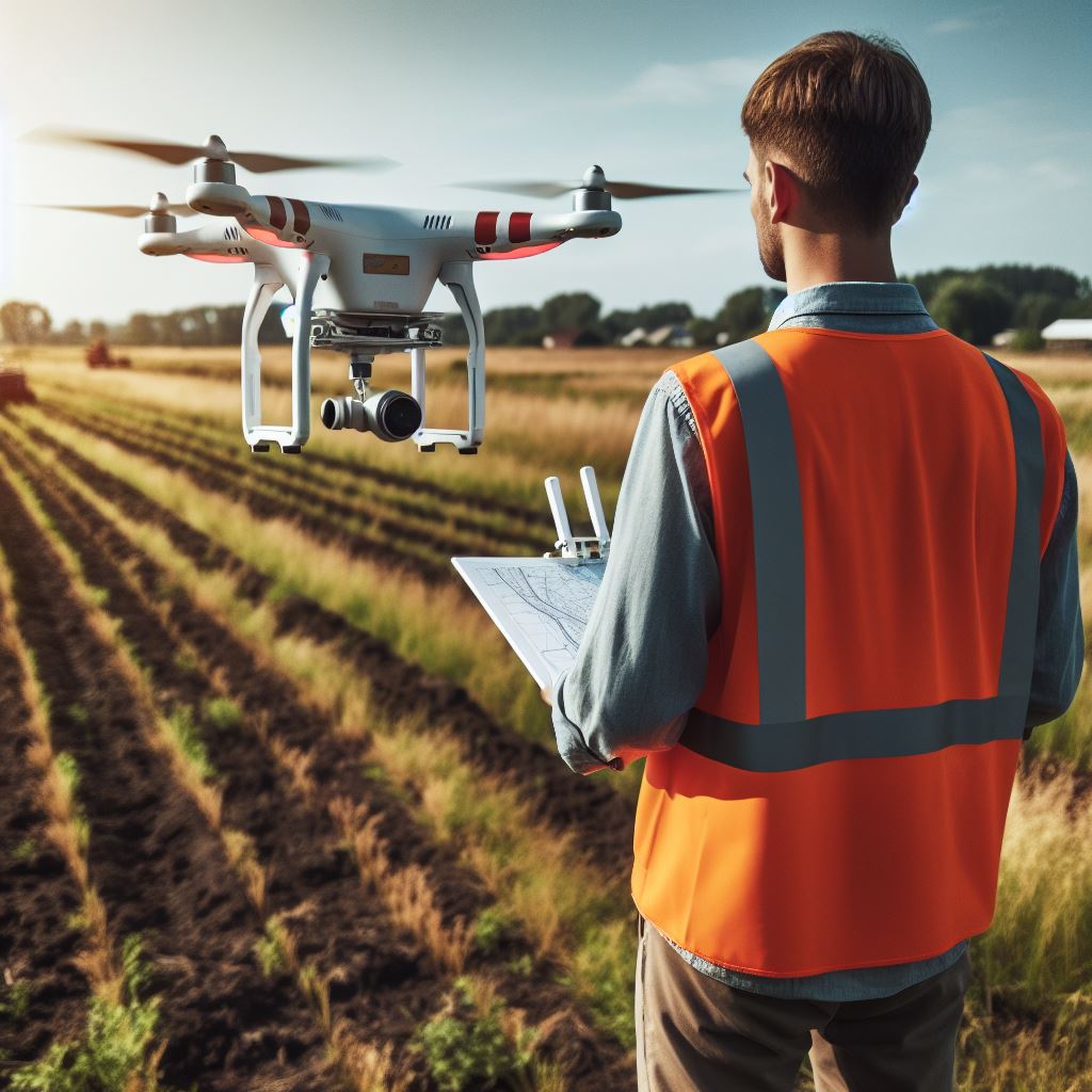
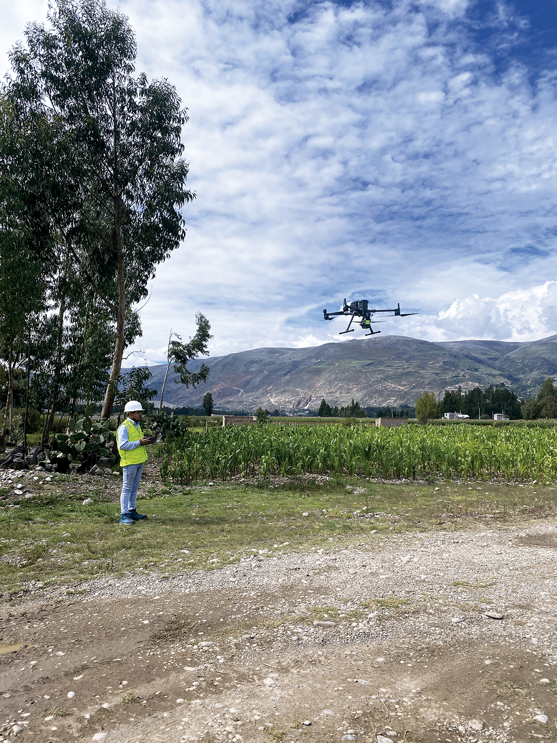
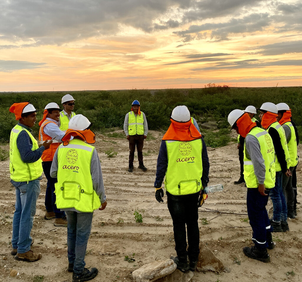
The use of drones in surveying is extremely versatile, and while their applications are varied, they particularly excel in construction and facility monitoring. At Acero Estudio, a company specialized in surveying, we have recognized the potential of this combination and have successfully implemented it in numerous projects.

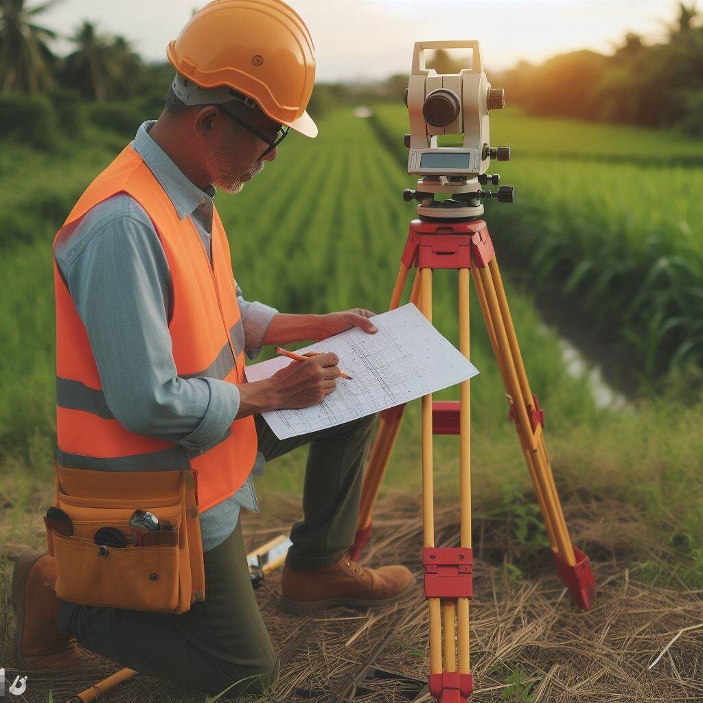
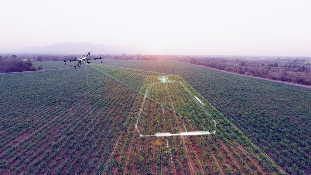
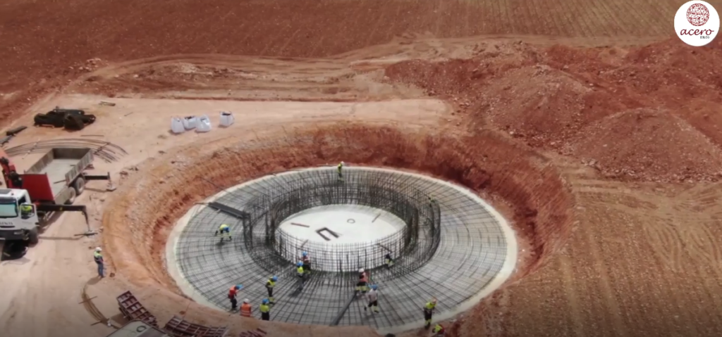
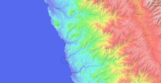
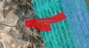
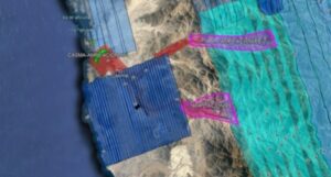
A critical aspect in the preparation of any project, especially in the realm of large-scale public and civil works, is the meticulous study of the environment where the future action will take place. Precision and comprehensive understanding of terrain conditions are essential to ensure construction success and to avoid potential complications or delays in the process. This is where drones make their triumphant entrance, allowing for quick and precise detailed inspections and visual detection of potential obstacles.

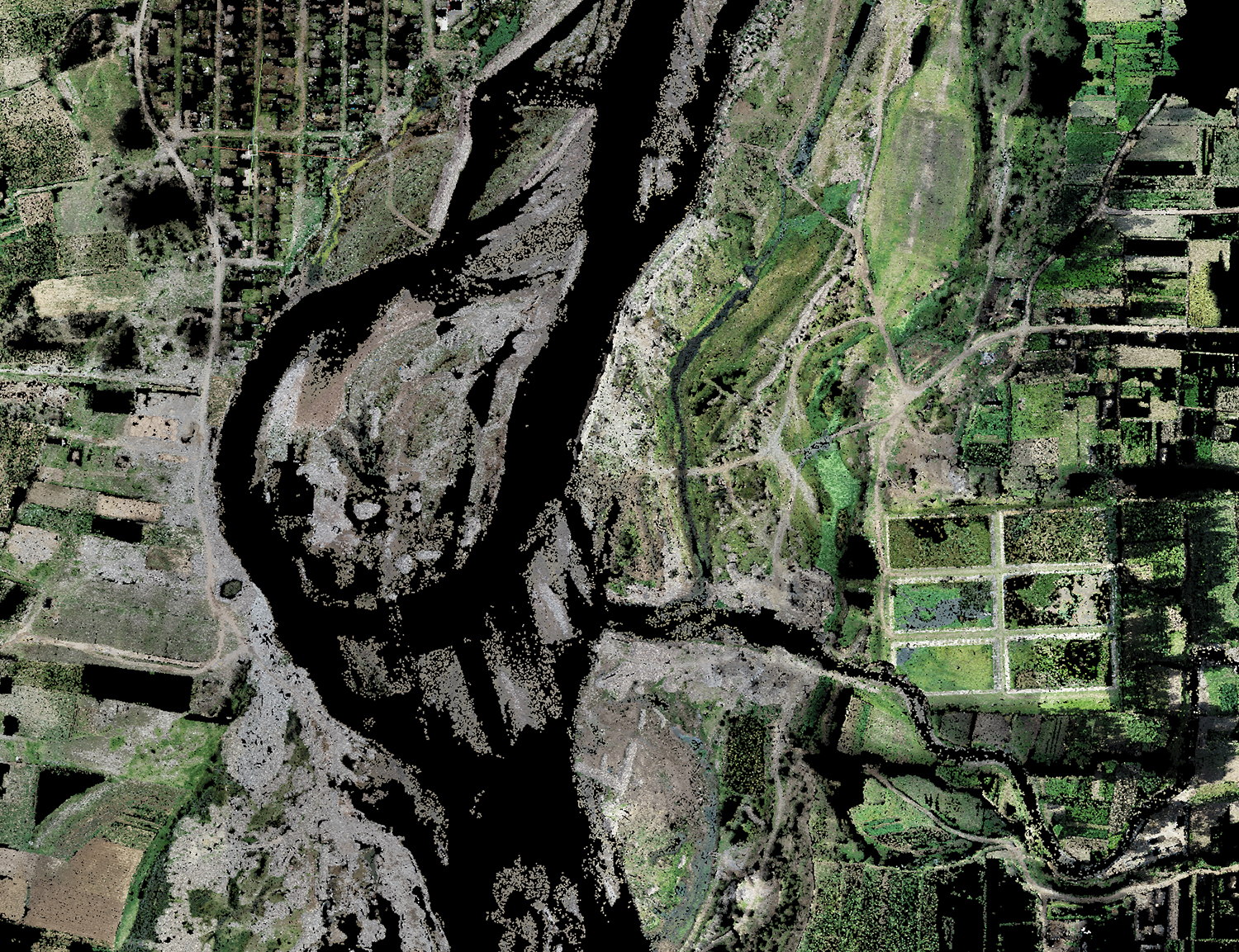
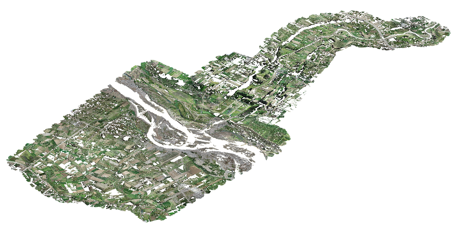
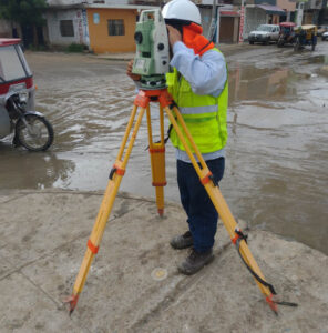
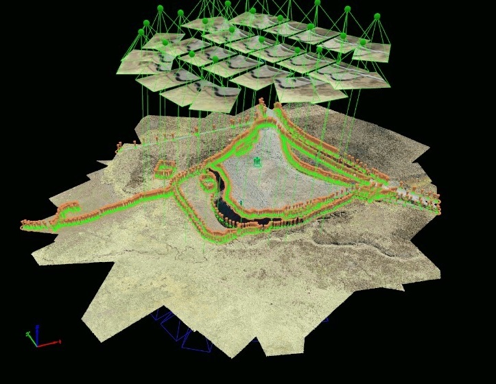
The speed and efficiency of drones in this context are unparalleled. Before the era of drones, collecting topographic data involved lengthy manual procedures and costly ground operations. However, with the deployment of drones equipped with advanced sensors, surveying has become much more accessible and efficient. Drones can fly over extensive areas in a matter of minutes and provide detailed data ranging from terrain topography to the identification of key features such as buildings, roads, or vegetation.

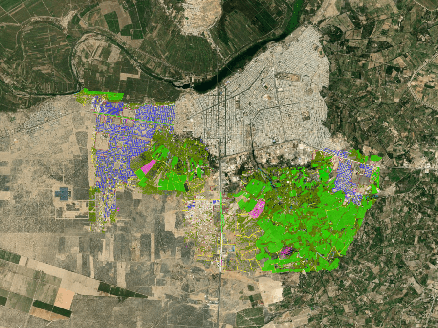
One of the most notable benefits of using drones in surveying is their ability to capture high-quality images and videos. These images and recordings offer a precise visual representation of the current state of a work in progress, greatly facilitating the presentation and analysis of project execution progress. There is no longer a need to rely solely on abstract data or written reports; drones provide a comprehensive and detailed real-time view of the work.

This visual aspect is particularly useful for communication and collaboration in construction projects. Images and videos captured by drones can be easily shared with all stakeholders, from engineers and architects to clients and regulatory authorities. This transparency and clarity in data presentation can help avoid misunderstandings, clarify doubts, and streamline decision-making, thereby contributing to keeping the project within the established schedule and budget.

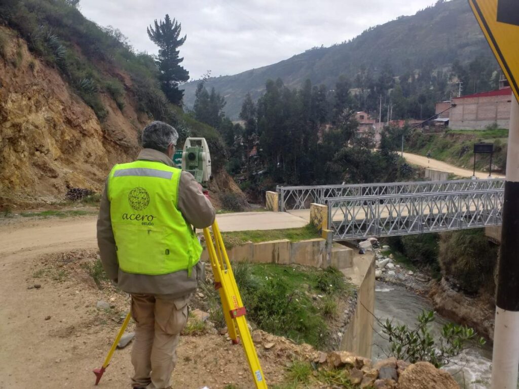
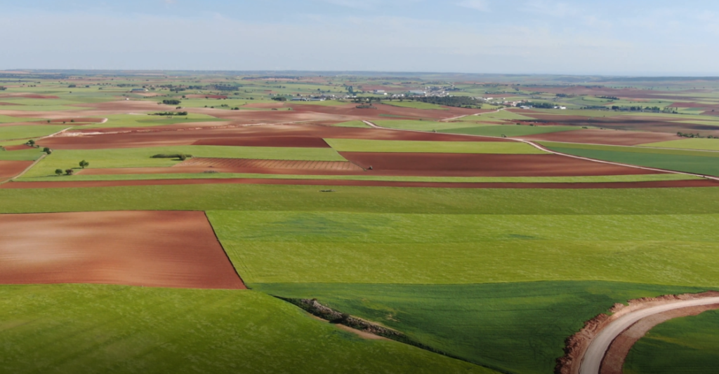
Furthermore, the use of drones in surveying extends beyond monitoring ongoing works. They are also employed in the initial planning stages of projects, allowing for a detailed assessment of terrain conditions before the first stone is laid. This is essential for identifying potential geographical or environmental challenges that may arise during construction. The ability to anticipate and address these challenges from the outset can prevent costly setbacks and design modifications later in the process.

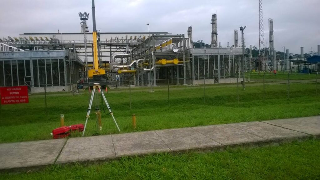
Another significant advantage of drones in surveying is their ability to conduct periodic inspections and track project progress. Scheduled flight repetitions throughout the project allow for close monitoring of construction evolution and detection of any deviations from the original plan. This real-time tracking capability enables more effective resource management and a quick response to any issues that may arise during construction.

The integration of surveying and drones in the construction industry has proven to be a winning combination. The precision, efficiency, and ability to present detailed visual data offer invaluable value in the planning, monitoring, and execution of construction projects. In summary, the synergy between surveying and drones is paving the way for a more efficient and accurate future in the construction industry, benefiting all parties involved and ultimately the quality of the infrastructures we build.

Contact us to learn more about our surveying services as well as drone photogrammetry. We are at your service.

Casma and Huarmey topographic studies.

We are advancing at a good pace in the Topography works for the project:

“Riverside defenses of the Casma and Huarmey rivers”.

Acero Estudio LATAM, in Peru, provides field and cabinet services for the development of this project included in the Comprehensive Plan for Reconstruction with Changes (PIRCC) to restore all the physical infrastructure damaged and destroyed by the El Niño Coastal Phenomenon in 13 regions of the country: Áncash, Arequipa, Ayacucho, Cajamarca, Huancavelica, Ica, Junín, La Libertad, Lambayeque, Lima, Loreto, Piura and Tumbes.

Our participation in this project consists of the topographical survey and preparation of the digital terrain model of the area in which the actions of this project are carried out in the preparation of topographic plans and records and the generation of volumetric reports on earthworks and civil works. . We also participate in meetings to reconcile the distance measurements of haulage routes and the volume of production of various materials.

Specific topographic surveys have been carried out to represent the terrain and the various existing elements contained in the digital model at different scales, such as bridges, intakes and other structures using different technologies, total station, GPS, drones, Lidar, echo sounder and level.

Among others, we use PIX4Dmatic software, state-of-the-art photogrammetry software for terrestrial, large-scale and corridor mapping.

We thank TYPSA for the trust placed in our team.


https://rioscasmayhuarmey.com.pe/proyecto.html