Advantages of using drones in construction
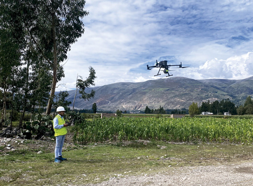
The use of drones for construction management has been growing exponentially in recent years. They offer many advantages in terms of tracking, surveillance and location inspection with good, faster and more accurate results.
Below, we present some of the main advantages provided by the use of drones in the construction sector.
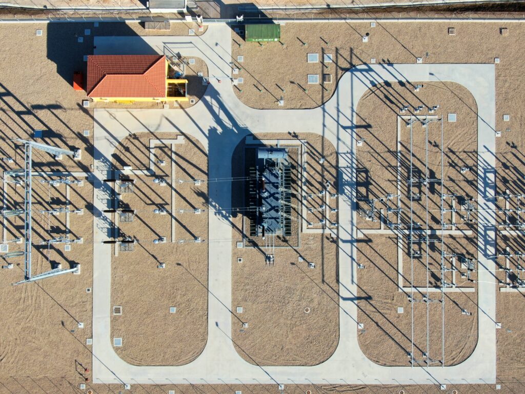
1. Precise mapping
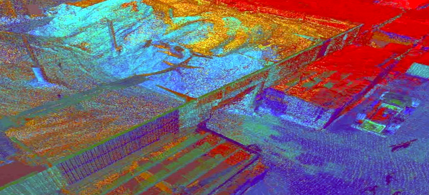
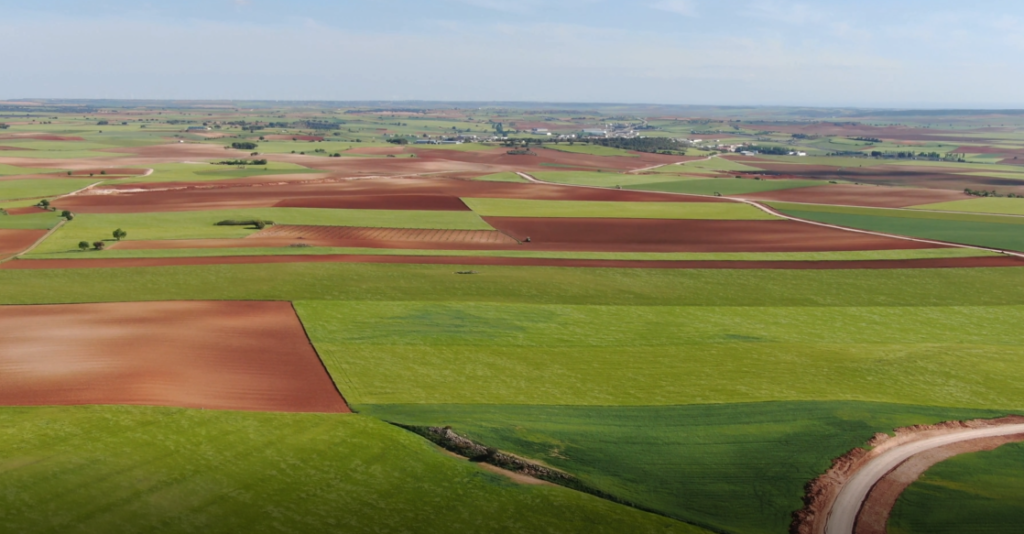
Most of the time, manual data collection and map generation are labor-intensive and time-consuming tasks. Drones can speed up this process by 60-70%. They provide high resolution photos, video capture and data through a LiDAR sensor or through the drone photogrammetry technique.
The LiDAR sensor transmits a laser beam and measures its reflection. Very useful for mapping, especially in topography when there are difficulties in accessing technicians. Construction drone surveying not only simplifies mapping, but also facilitates 3D modeling and analysis.
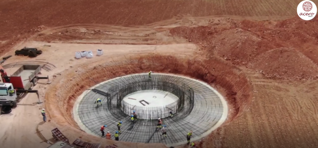
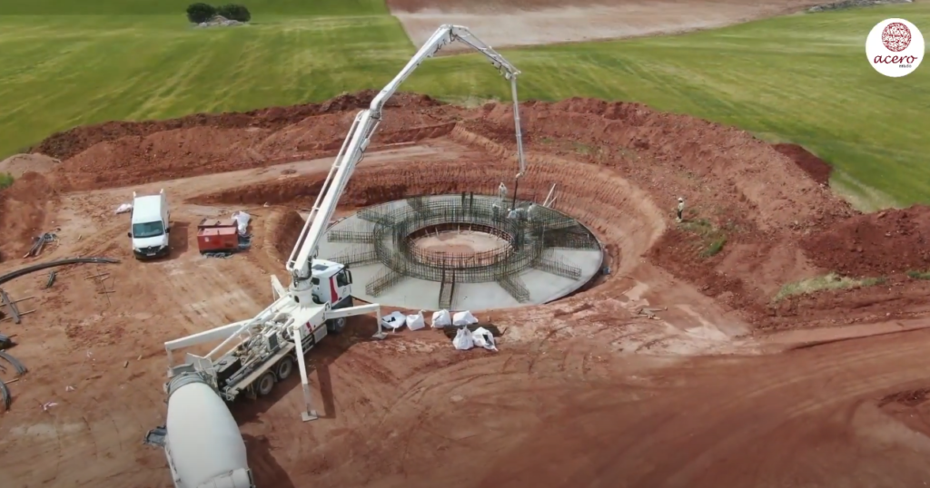
2. Minimum risk
Drones can replace people in the process of ensuring safety when accessing certain places. By integrating the drone with the monitoring device, real-time information is obtained and problems in certain areas can be instantly identified.
Therefore, the risk of accidents involving people and heavy equipment can be reduced during inspections in areas prone to hazards and risks.
3. Monitoring productivity and responsibility in the field
Drones used in construction make it possible to monitor team productivity. They can also check whether the equipment is installed or not. Therefore, they can easily identify the issue that is causing the project to run slowly. Easy and effective management.
4. Greater effectiveness in Marketing
Photos and videos are the best options to show the project. Until the emergence of drones a few years ago, certain operations could only be carried out with a helicopter to take photos and videos.
The high cost of a helicopter flight has no comparison with the accessibility in economic terms of a drone flight. The costs related to obtaining photos and videos are not parallel to their quality, flexibility, time and safety compared to the drone. These solve the same difficulties effectively.
Thanks to this technology, marketing efforts gain more with high-quality images. You can capture gorgeous projects from different angles in a relatively short time. The company can satisfy stakeholders with progress they can see visually.
Conclusion
The application of drones for construction management provides various benefits regarding safety, costs and time. Drones increase project efficiency with rapid data collection, mapping, and analysis. Furthermore, the information obtained can provide additional advantages if it is integrated with specific computer applications for construction, as it automates management tasks with access to real-time data.
The future of drones in construction will not stop. These benefits are just a few examples. As the technology develops, drones are expected to help construction companies in a wider area.

Also remember that at Acero Estudio we provide various services dedicated to reducing construction risks such as:
- Surveying services
- Drone photogrammetry
- LIDAR service
- BIM Consulting
- 3D Laser Scanner
Contact us and request a quote for our services, we are here to assist you.