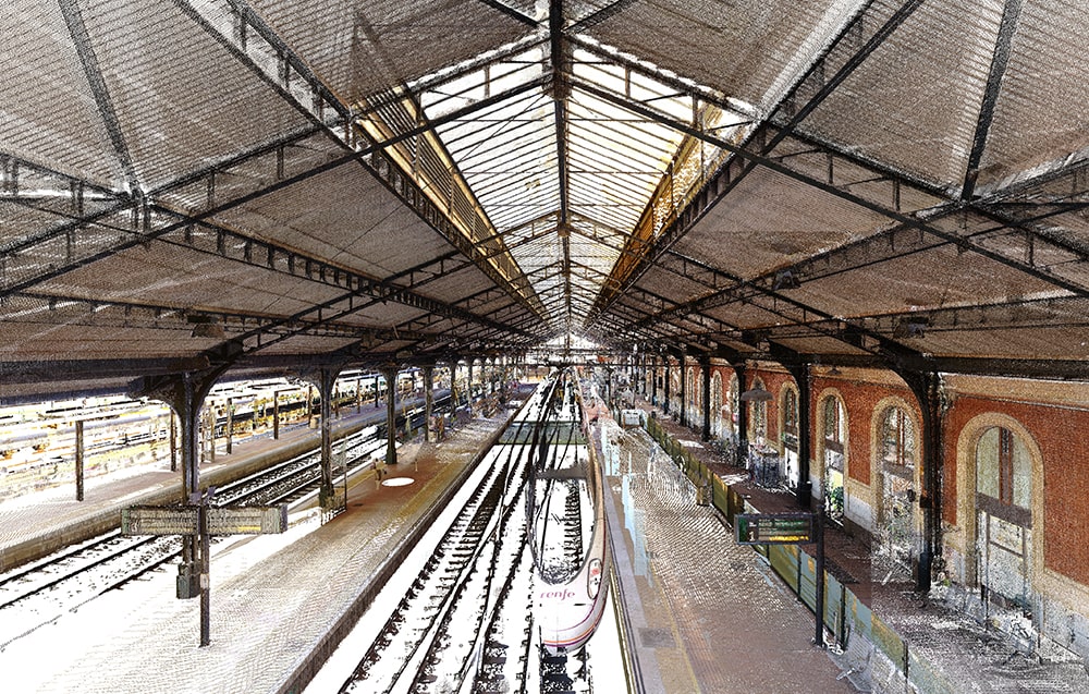
The rail transport system plays a crucial role in cities, allowing both the orderly growth of the urban planning and the movement of millions of people and goods in a sustainable way.
The development of rail projects requires large investments and long, particularly laborious, processes, so the integration of new technologies from the initial stages is essential.
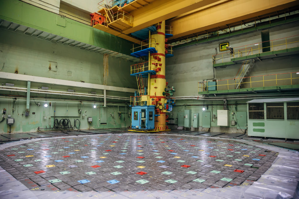
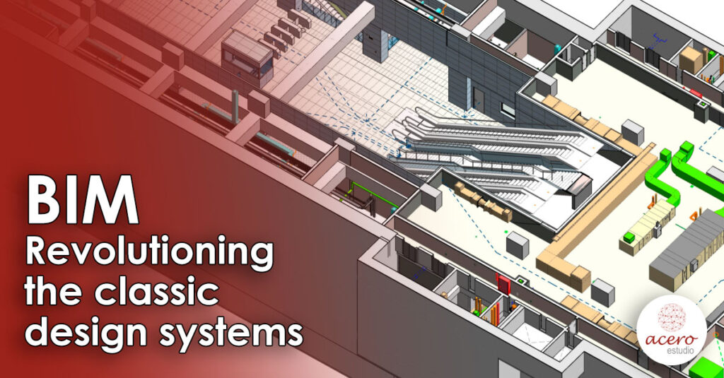
Among the most significant difficulties are the massive processing of information data, long execution periods and the complexity of construction due to the surrounding work environment. The needs of the sector have given rise to the search for optimal answers to improve the efficiency of construction and operation of project development, as well as to guarantee its progress, safety and quality. The Building Information Modeling (BIM) methodology is used to meet these specific needs.
The application of BIM in the railway sector offers comprehensive project management and the opportunity to win at all stages of its life cycle. It meets customer demand with information models created in a common data environment that enables effective collaboration and communication between all stakeholders. Accordingly, the development of the technological foundations makes it possible to explore the pre-construction of infrastructure through simulations, to assess its feasibility.
BIM is a key player in the industry. In the long term, its contributions are immeasurable and promise greater benefits in the operation and maintenance phases. BIM methodology is currently being used in 21 rail projects in 17 countries.