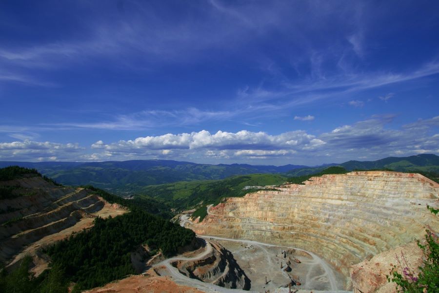
Many terrains, especially on the outskirts of cities, have slopes, and inclined areas pose a challenge for any construction project, from the design stage to the execution of the work.
The accuracy of structural calculations and the planning of cuts and fills are all affected by the stability and inclination of the area. In this sense, to achieve the proper placement of buildings, a topographic study allows for identifying risks and making key decisions to ensure the safety and efficiency of the project.
What risks can be avoided with a topographic study:
- Landslides and soil erosion
- Deficiencies in the drainage system
- Errors in earth movement calculations
- Structural instability due to irregular settlements
Additionally, topographic analysis facilitates the planning of preventive measures, such as:
- The construction of retaining walls
- Adaptation of drainage systems
- Optimization of structural design to adapt to the natural topography of the terrain
Once the project is completed, topography is used for construction compliance certification, the preparation of documentation for maintenance work, or property expansions, preventing future problems.
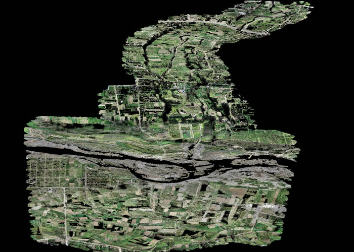
In this regard, at Acero Estudio, we specialize in topographic services to ensure the success of construction on sloped terrain. Our services include topographic surveys using the polygonal method, high-precision geometric leveling, and other techniques with UAVs such as drone photogrammetry and LIDAR technology to capture the terrain morphology in detail.
If you need a topographic company, do not hesitate to contact us—we are at your service.