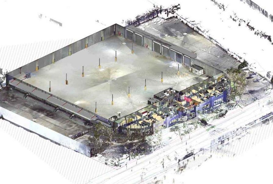
With our experience in 3D laser scanning service we provide our client with the necessary information for the ideal location of their new warehouse facilities to store online purchase/delivery products.
Our mission was to provide precise information to evaluate how they could, with their means and facilities, allow the workflow of goods – for heavy vehicle access and general loading or unloading.
We help determine if a retrofit for this warehouse location could meet your requirements and generate the graphical information necessary to visualize existing conditions and solutions.
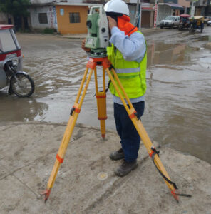
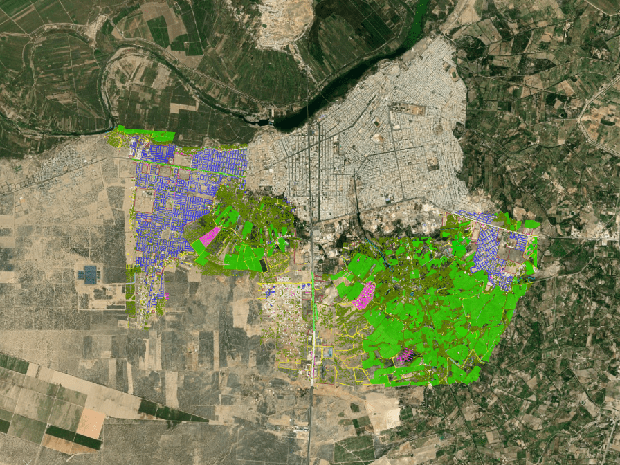
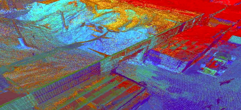
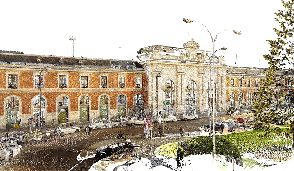
We carry out the survey of the 2D levels with a detailed study of the exterior, using a total station with global satellite navigation systems. Followed by taking 3D laser scanner data to generate a cloud of internal and external points of the place. Lastly, we performed 3D modeling where the collected data was analyzed to generate exact geometric shapes.
As a result, our client was able to make decisions quickly and accurately, resulting in notable savings in costs and time.
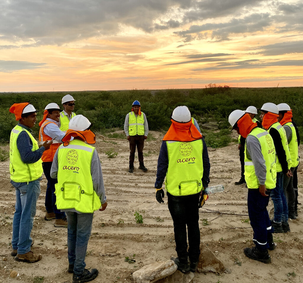
Another important point valued by the client was being able to verify both compliance with security requirements and evaluate the scope of actions and work flows.
Consult about our services. Our team can help you manage your projects optimally and at a higher level with the use of cutting-edge technological tools.
Remember that at Acero Estudio, a company specialized in 3D laser scanning, it provides various services dedicated to reducing construction, engineering or architectural risks such as:
- Surveying services
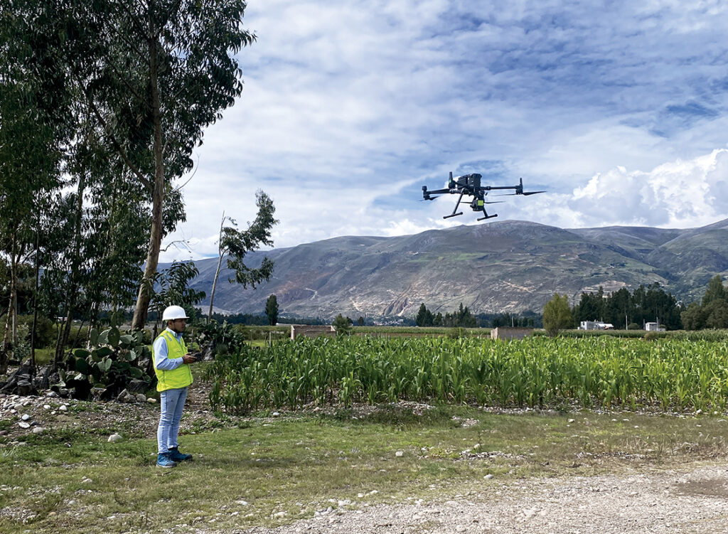
- Drone photogrammetry
- LIDAR service
- BIM Consulting Services
- 3D Laser Scanner
- CAD Design Outsourcing
Contact us and request a quote for our services, we are here to assist you.