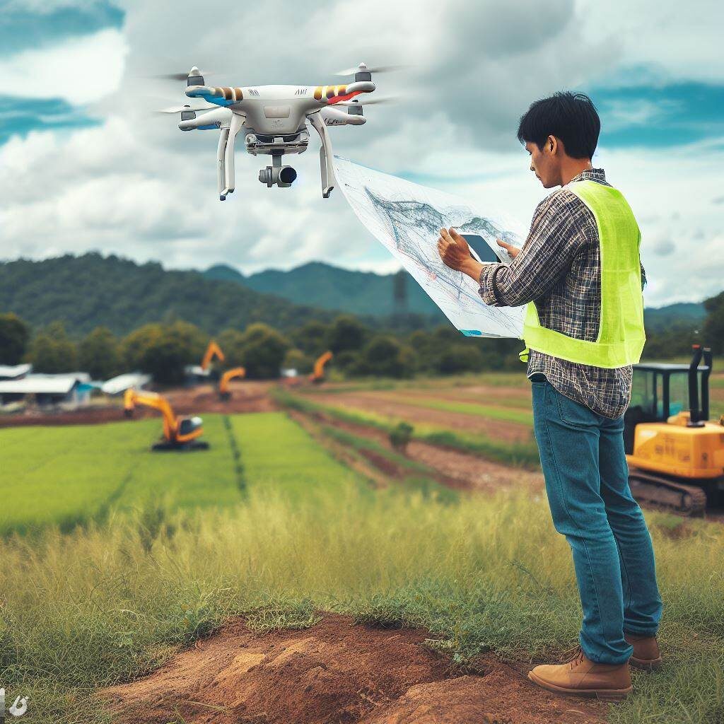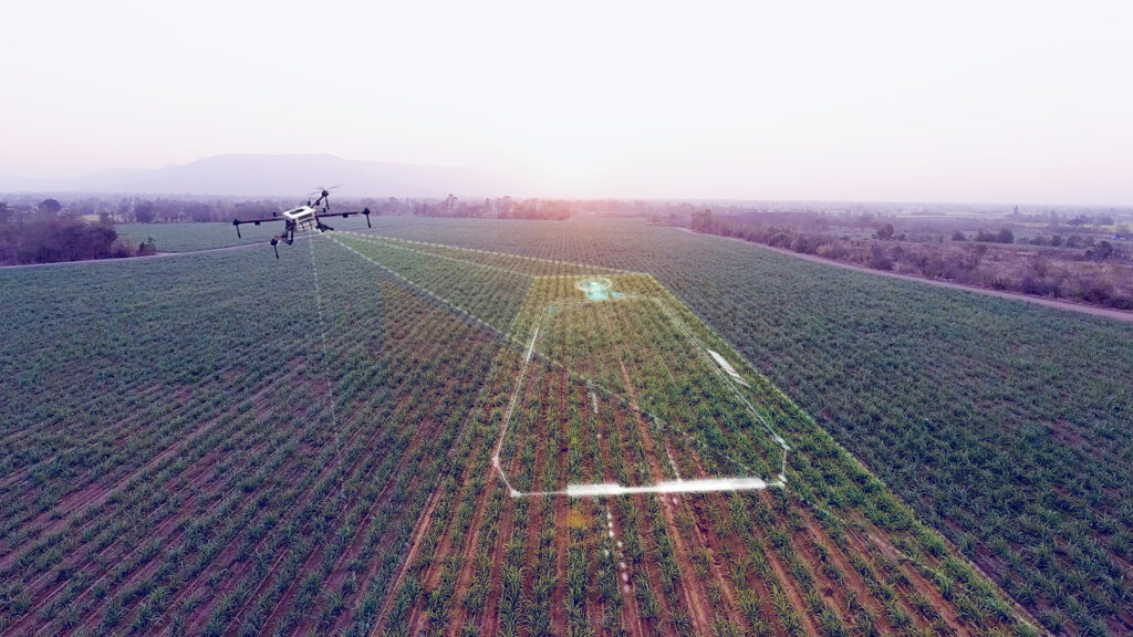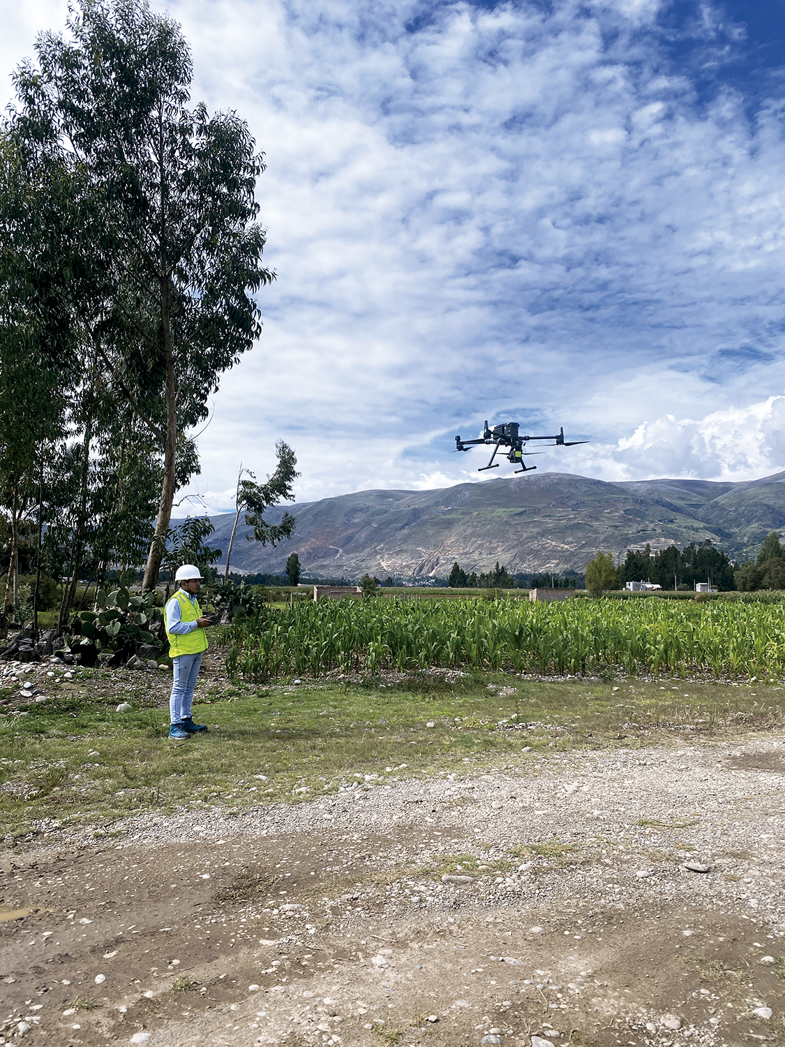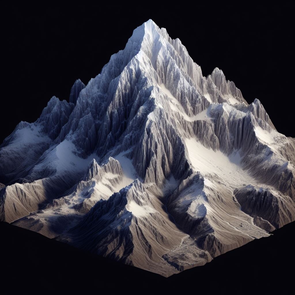
such as reserve parks, forests and jungles. In a world where illegal logging, deforestation and urban sprawl prey on and threaten the integrity of our natural environments, photogrammetry emerges as an essential tooPhotogrammetry with drones, a technique that combines measurement, topography and image capture, has become a fundamental ally in the conservation of threatened ecosystemsl to monitor, conserve and restore the health of our ecosystems.
Let’s learn about the practical uses of photogrammetry in the sustainability of vulnerable natural environments.
1. Monitoring Changes in Forest Cover
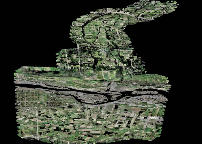
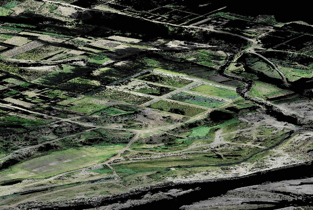
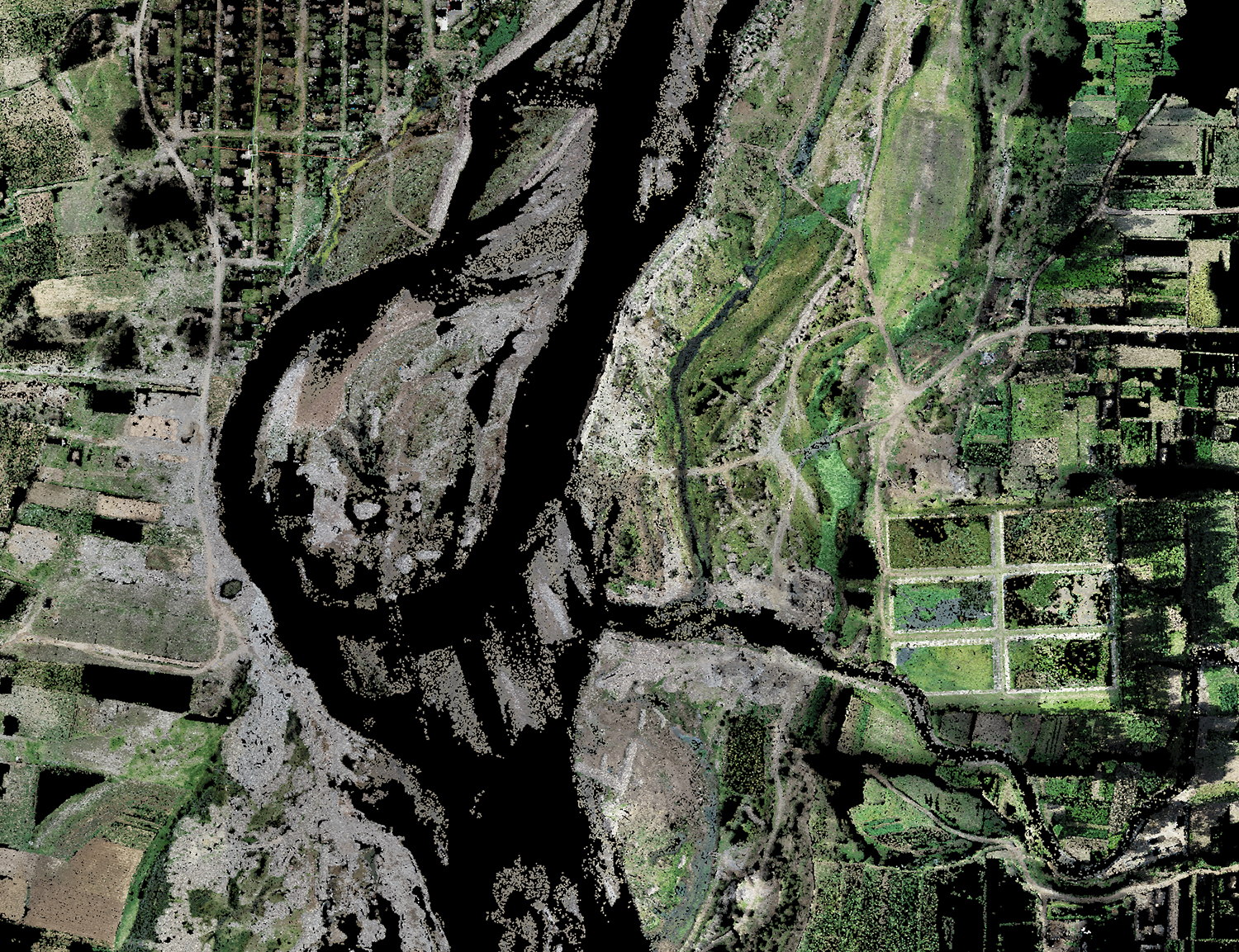
Aerial photogrammetry offers detailed monitoring of forest cover, identifying significant changes in vegetation. For this, it is important that diverse captures are made over time, which will provide us with information to combat illegal logging and deforestation, since it provides precise data on forest loss and early detection of illegal activities.
2. Biodiversity Assessment
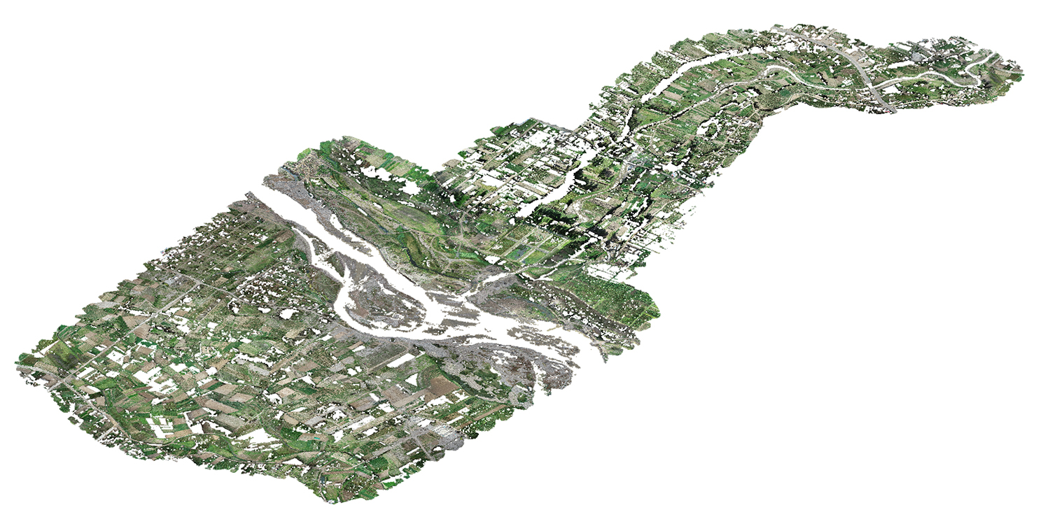
3D models from images generated by photogrammetry software facilitate the assessment of biodiversity. This allows scientists and conservationists to understand the composition and structure of ecosystems, identifying key species and areas of biological importance.
3. Ecological Restoration Planning
Ecosystems can not only be conserved but regenerated and for this it is important to know their composition, identifying degraded areas and establishing effective strategies for the restoration of natural habitats.
4. Monitoring Erosion and Landscape Changes
Images captured using photogrammetric techniques are useful for monitoring soil erosion and landscape changes. This is essential to prevent soil degradation and adopt land use practices that maintain healthy ecosystems.
5. Rapid Response to Natural Disasters
In situations of natural disasters, carrying out photogrammetry work helps us to know the magnitude of the damage, recognize the most affected areas and establish with exact and first-hand information necessary activities for rescue or damage minimization.
6. Education and Environmental Awareness
Maps and still image captures are still used in schools and universities. Photogrammetry could go further because using 3D models it provides us with images, videos and simulated tours with real data that will allow students to increase their awareness and knowledge through modern and interactive information.
7. Applications in the Management of Natural Reserves
Natural reserves can also benefit from the modernity provided by this important technique, as has been evidenced in Chile where the Isluga Volcano National Park, Nevado Tres Cruces National Park, in the Antofagasta Region has benefited from photogrammetric studies that provide rangers with information important about the presence of activities that generate risks to the flora and fauna of the protected area.
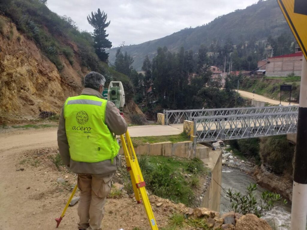
For these reasons, do not hesitate to contact Acero Estudio, a company specialized in aerial photogrammetry with drones; we are at your service.